Viewing the landscape from the air is a fascinating experience for most of us, whether it be from a commercial airline or a chartered tour company. Seeing familiar landmarks we all can identify take on a whole new perspective when viewed from a birds-eye position. However, for the majority of photographer’s, engagement with the landscape is generally at ground level, or from hills and summits of mountains. Shooting aerial landscapes is something that the vast majority of landscape photographers do not normally undertake.
Aerial landscape photography is generally thought by most people to be expensive and financially unaffordable for most photographers unless the assignment is commissioned, which is true to a point. Many of the images photographed for the 'Natural History of Ulster', which I co-authored with John Faulkner were aerial landscapes photographed from a commercial helicopter. Since then, I have undertaken quite a few other flights to capture many of Ulster's iconic locations from the air photographed with high-resolution cameras.
Since the introduction of drones for both video and stills photography, there has been less demand to photograph from the air using conventional methods. Today's current drones are capable of capturing high-quality imagery and are extremely popular among photographers and aerial enthusiasts, which has reduced the need for conventional aerial photography. However, there are certain situations and challenges, where drone photography cannot be utilised for various reasons and shooting from a helicopter, is a better option.
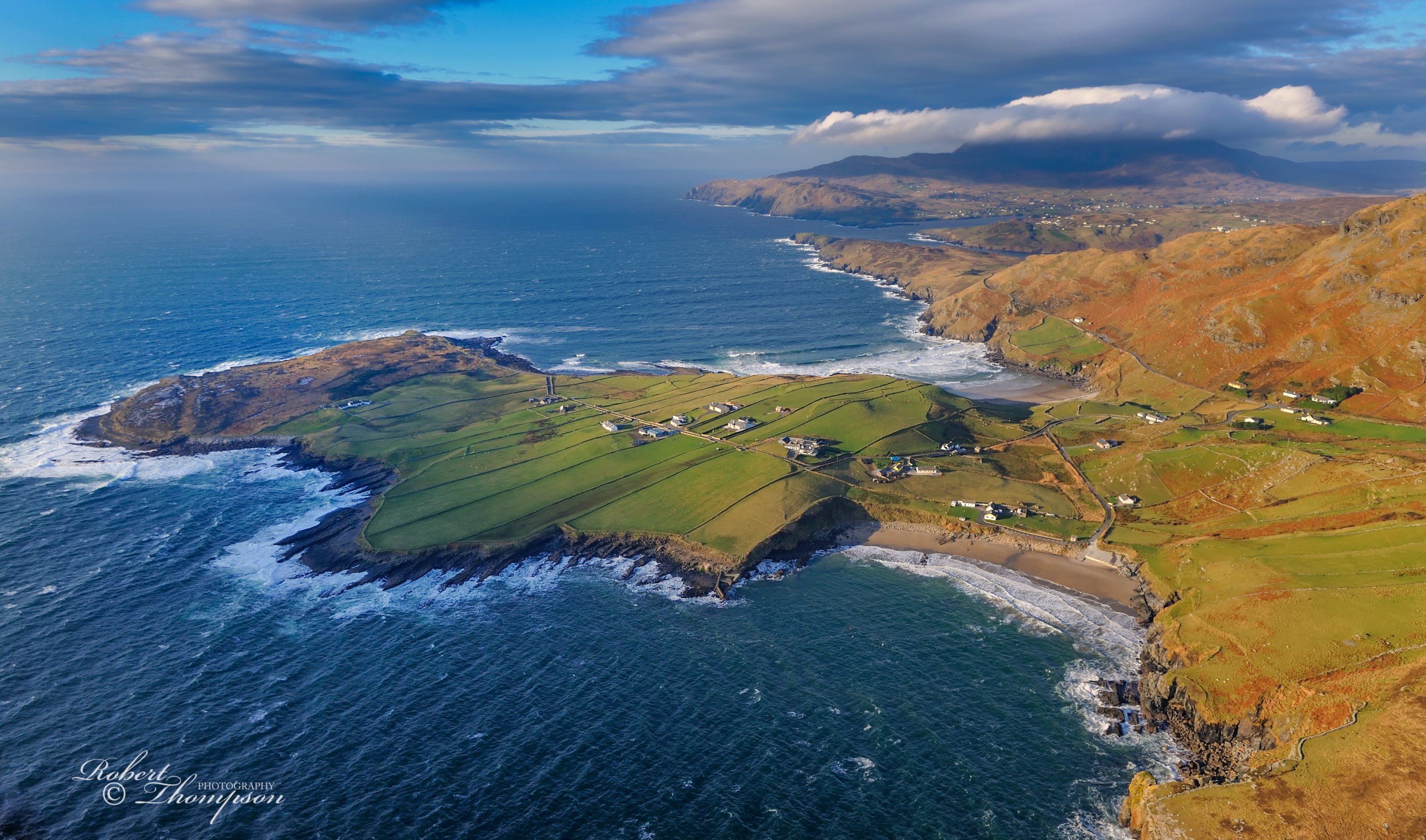
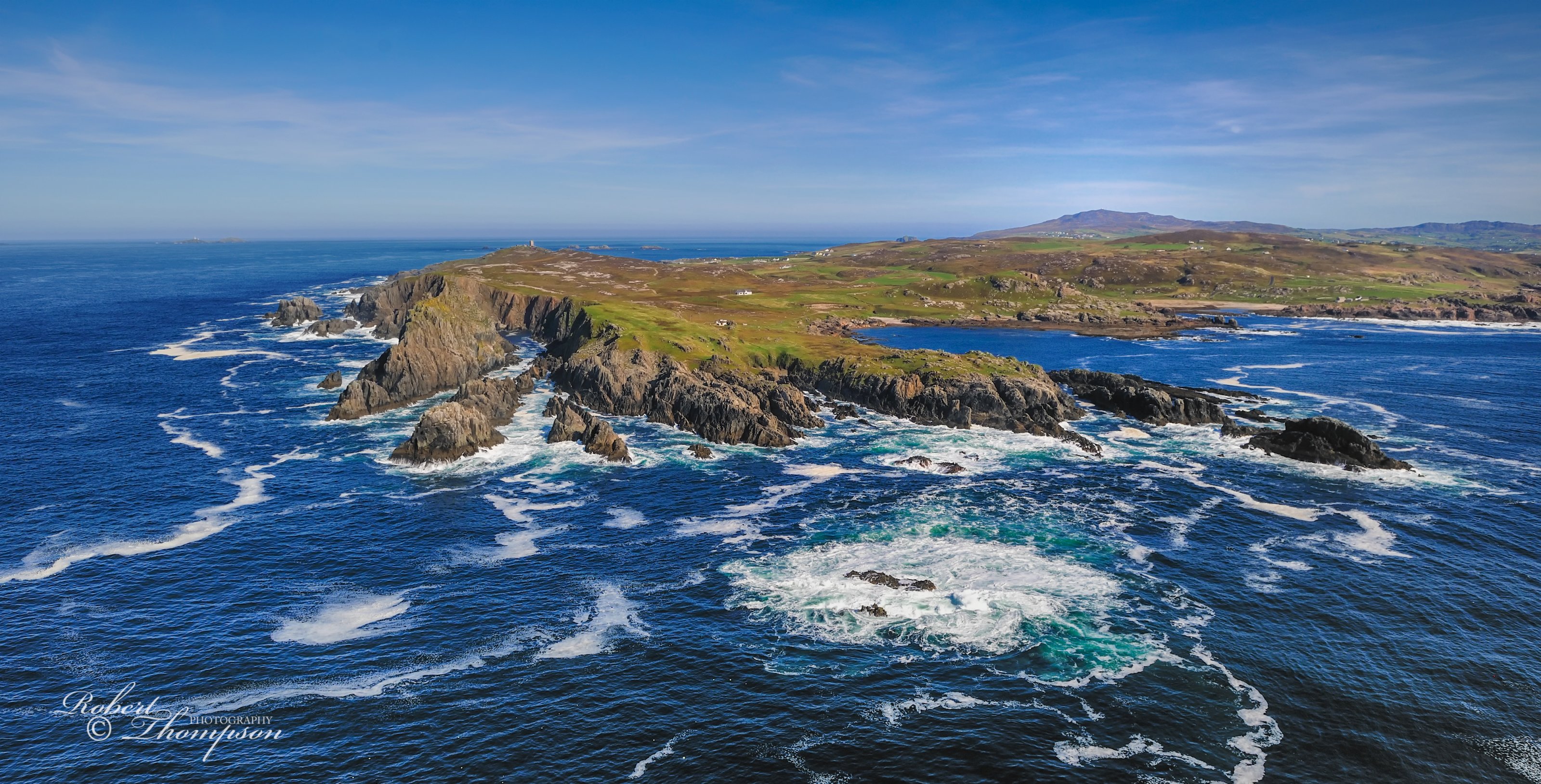
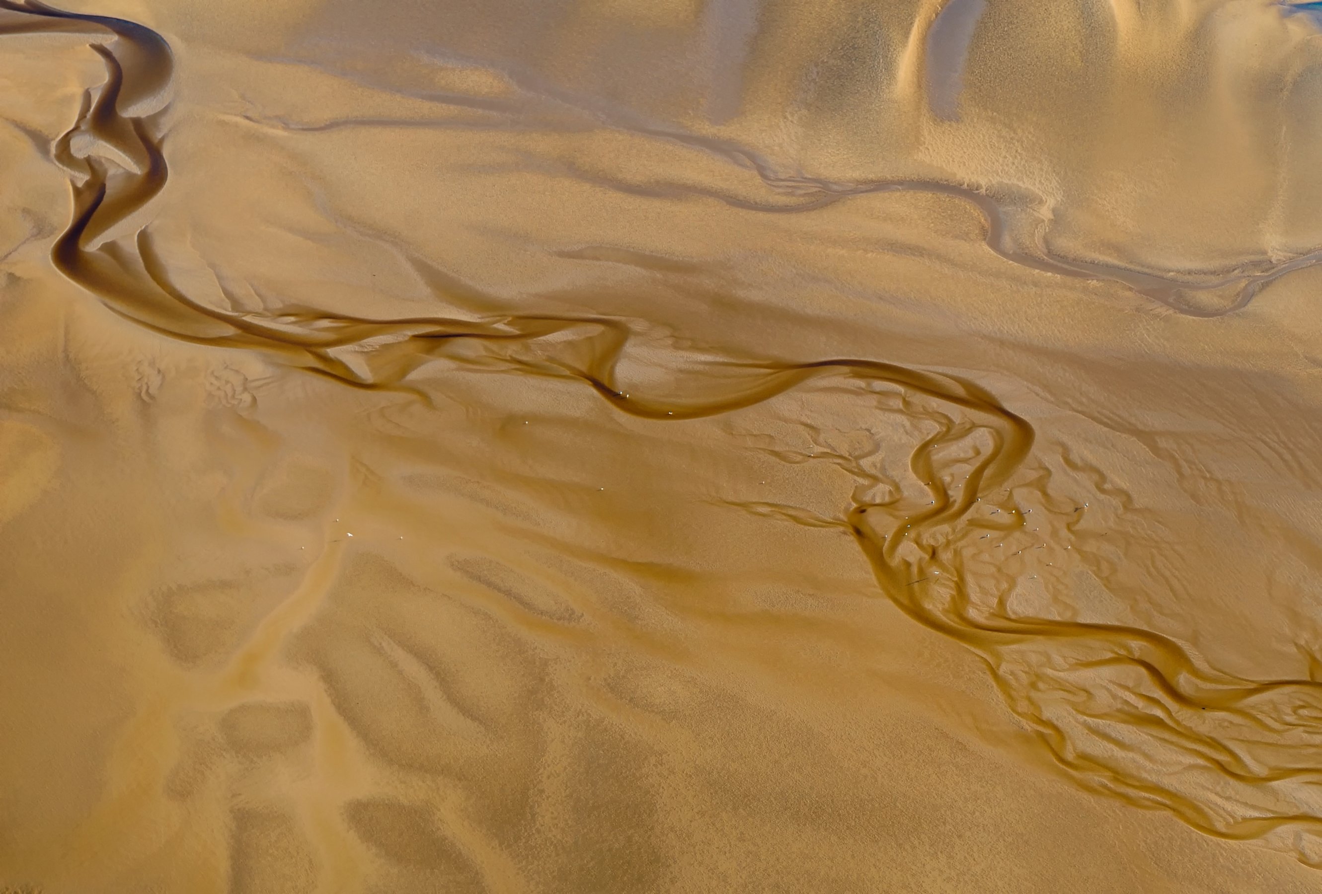
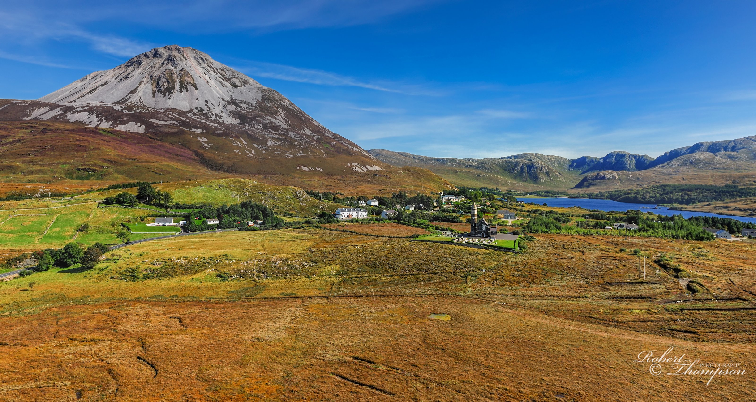
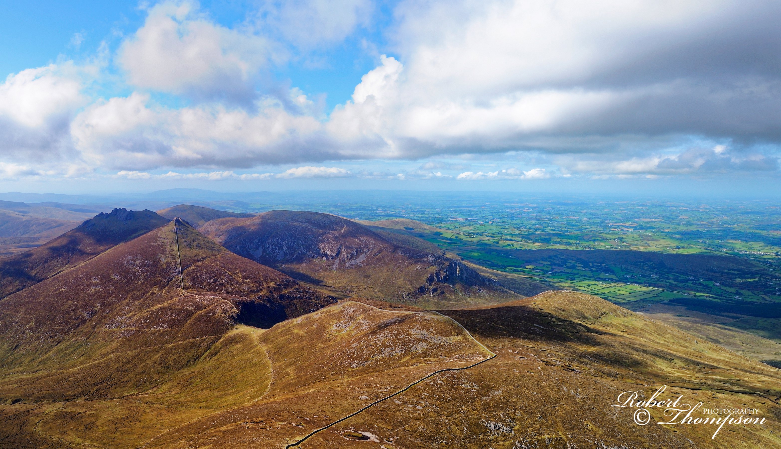
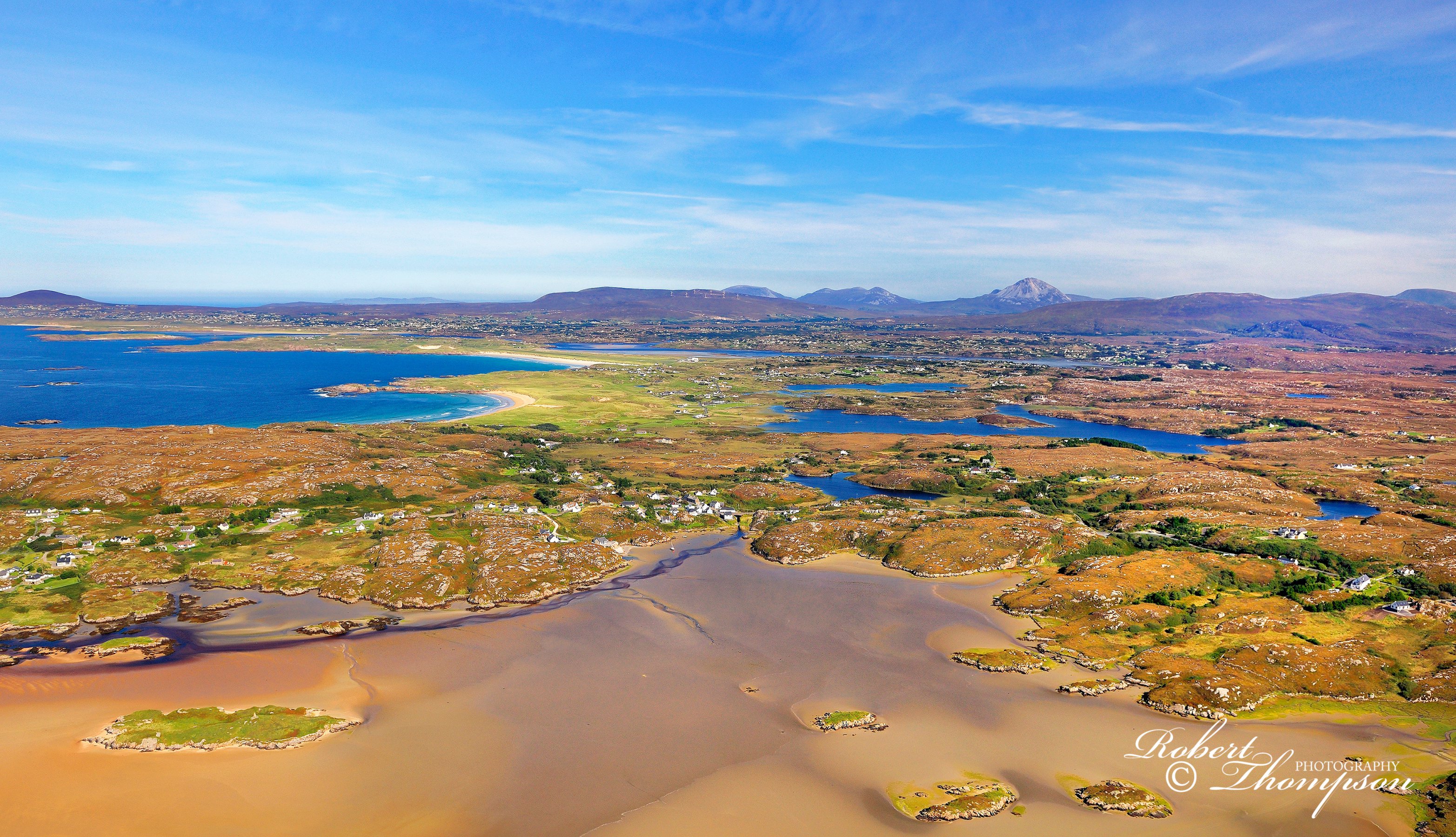
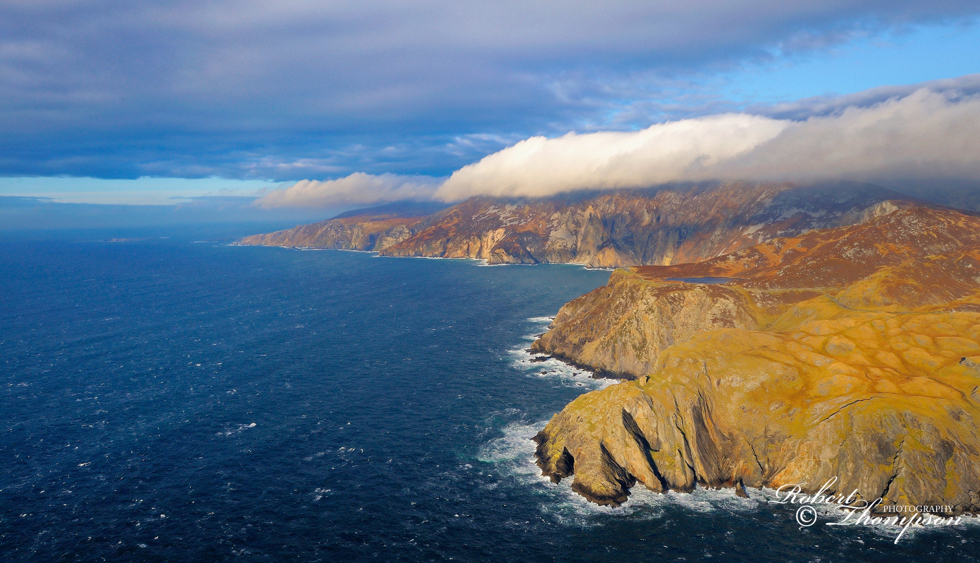
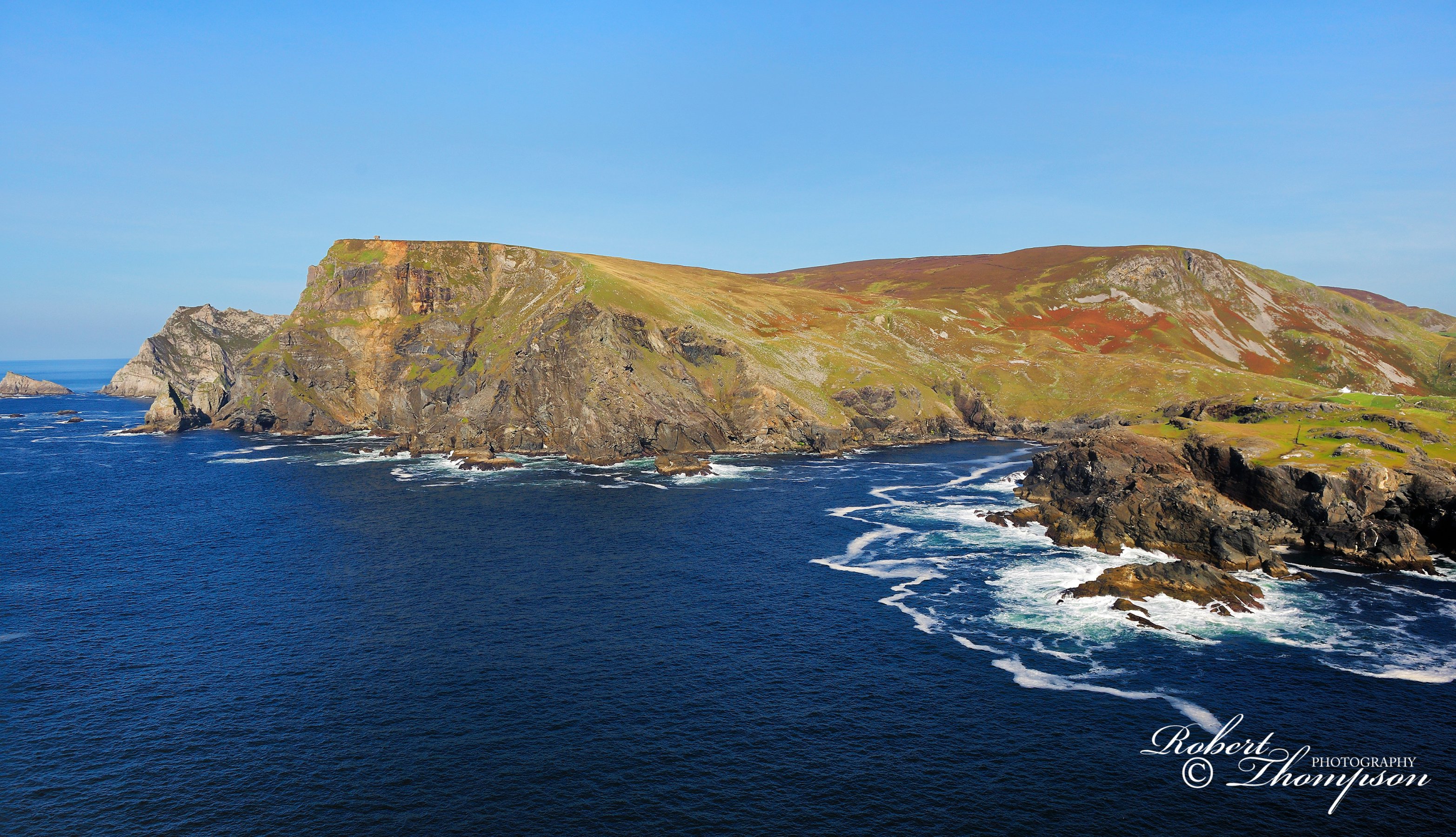
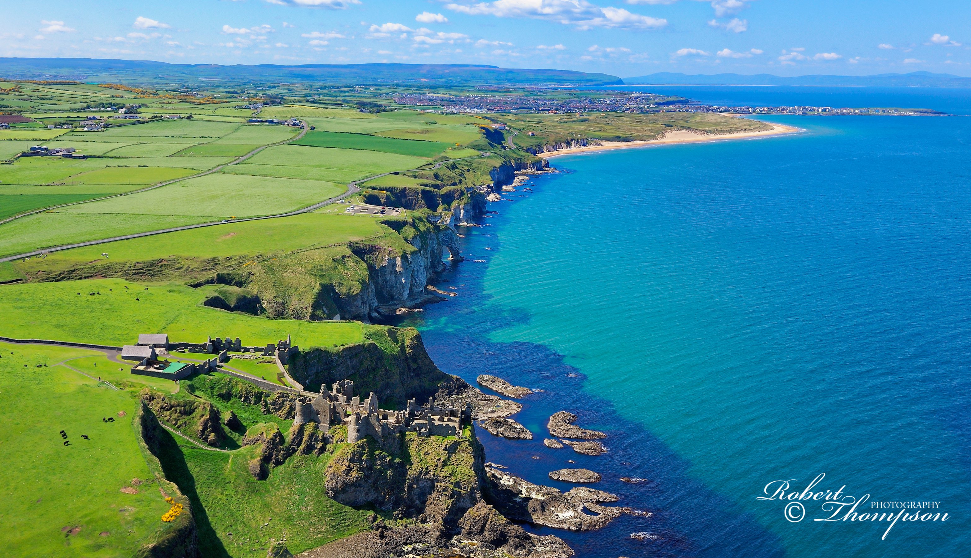
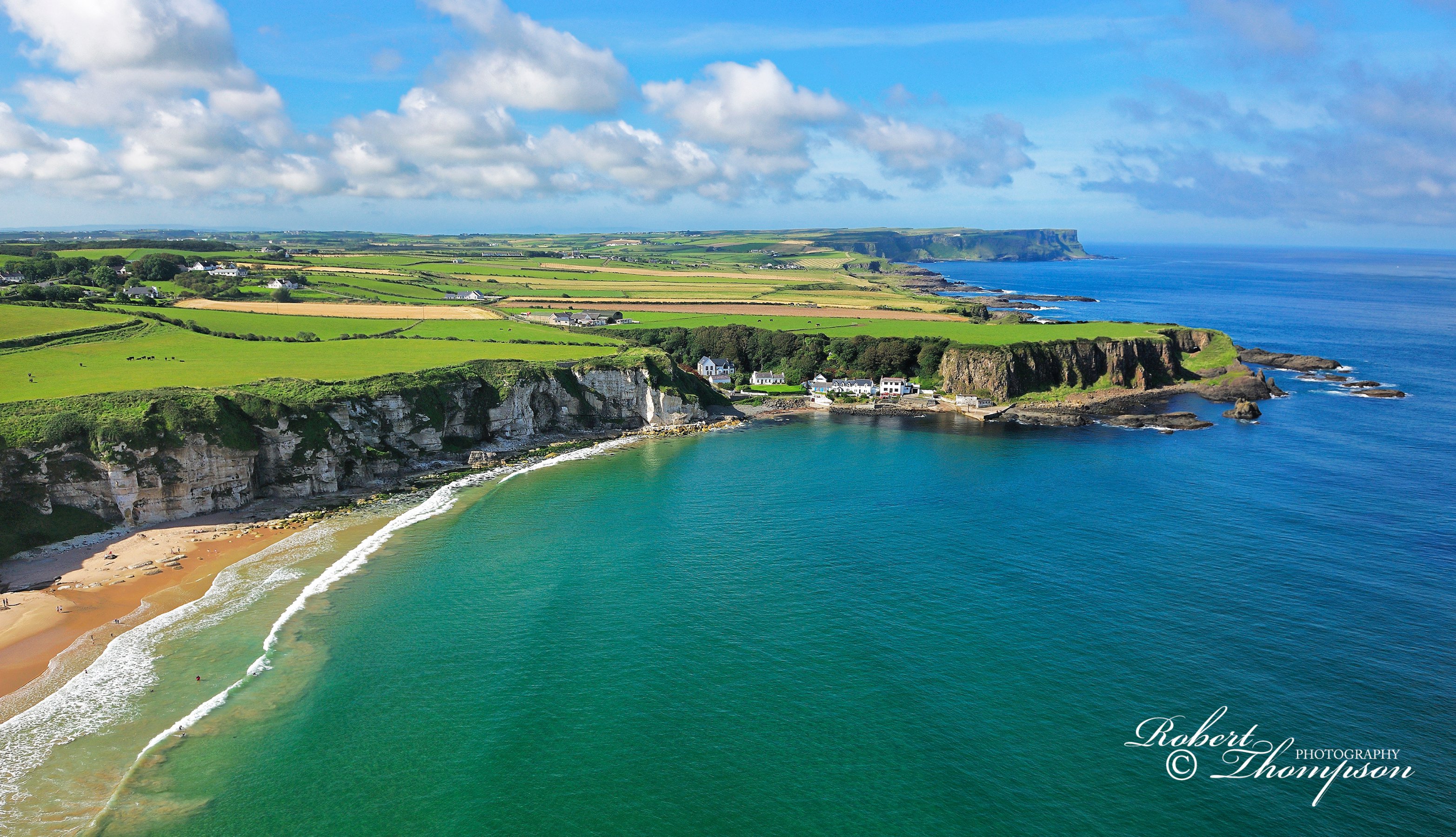
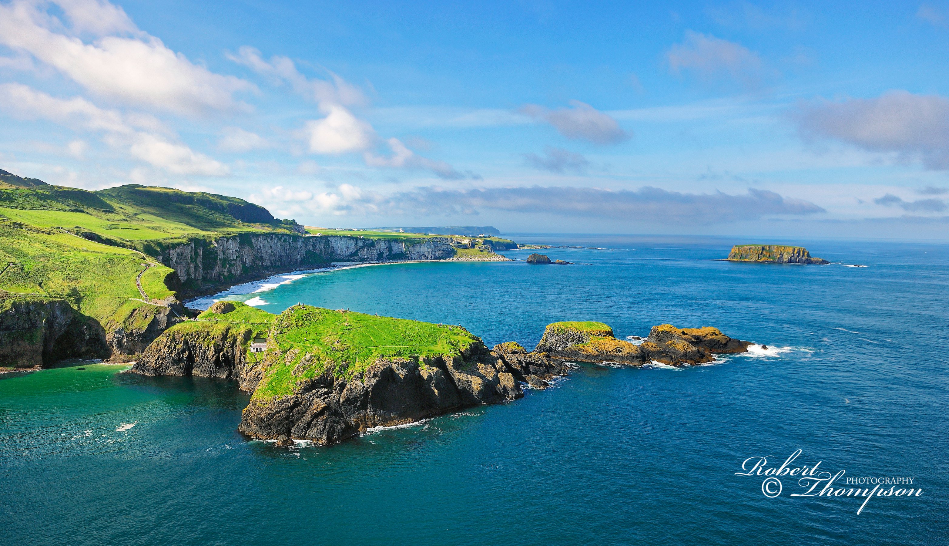
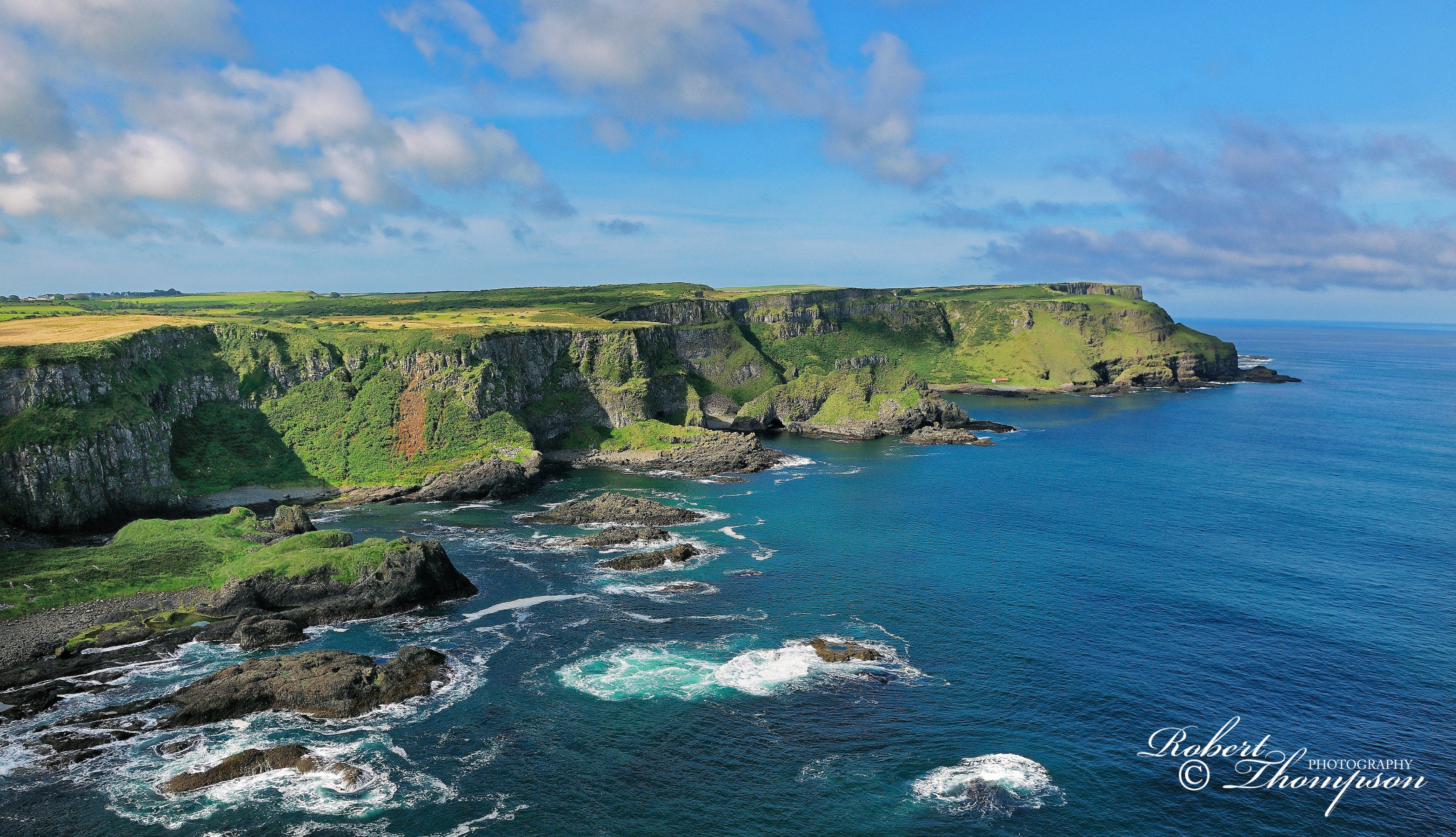
The photographs below are a small example from a larger collection of aerial imagery from different parts of Ireland photographed using Nikon camera equipment. They were all photographed from a commercial helicopter with the doors removed and a safety harness attached to ensure my safety at all times.
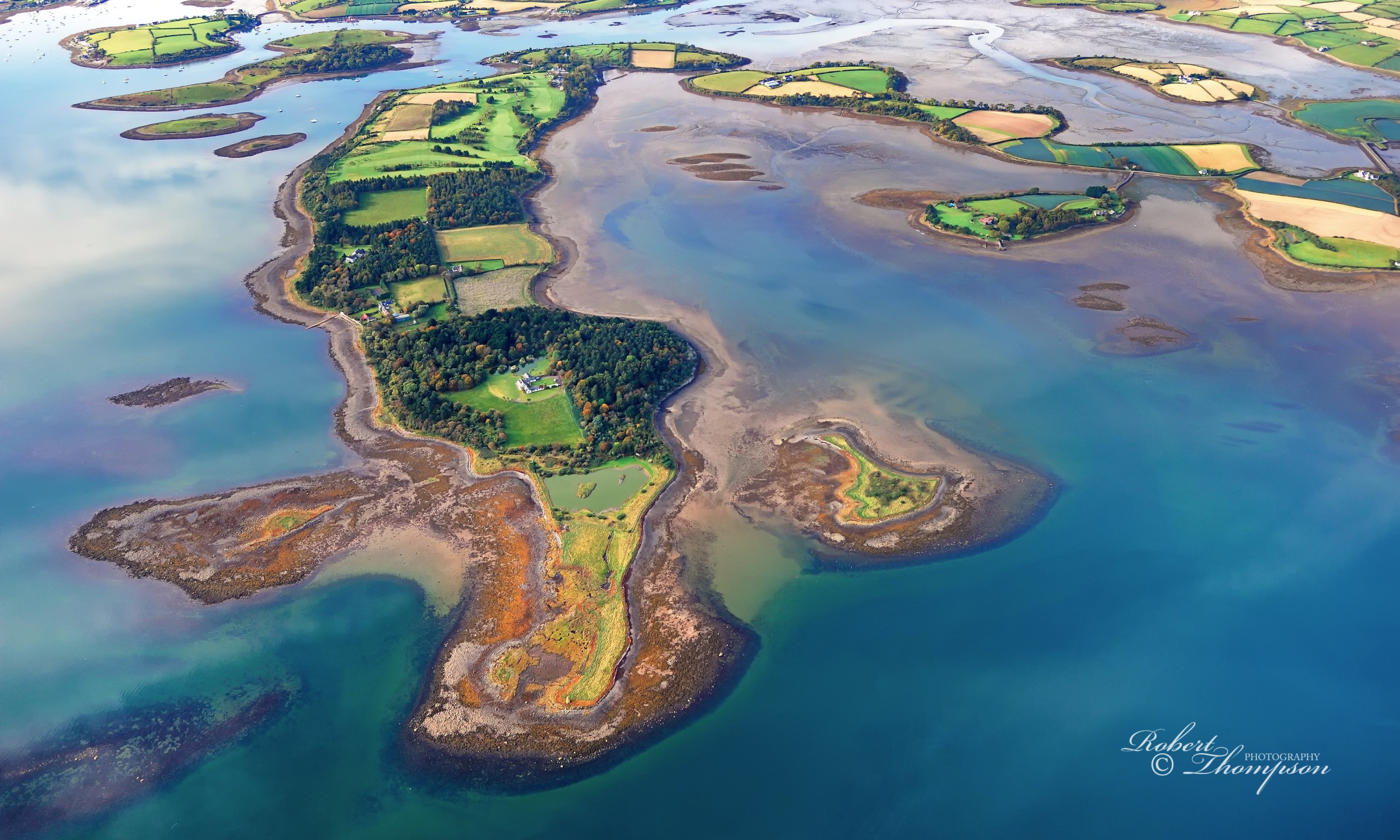
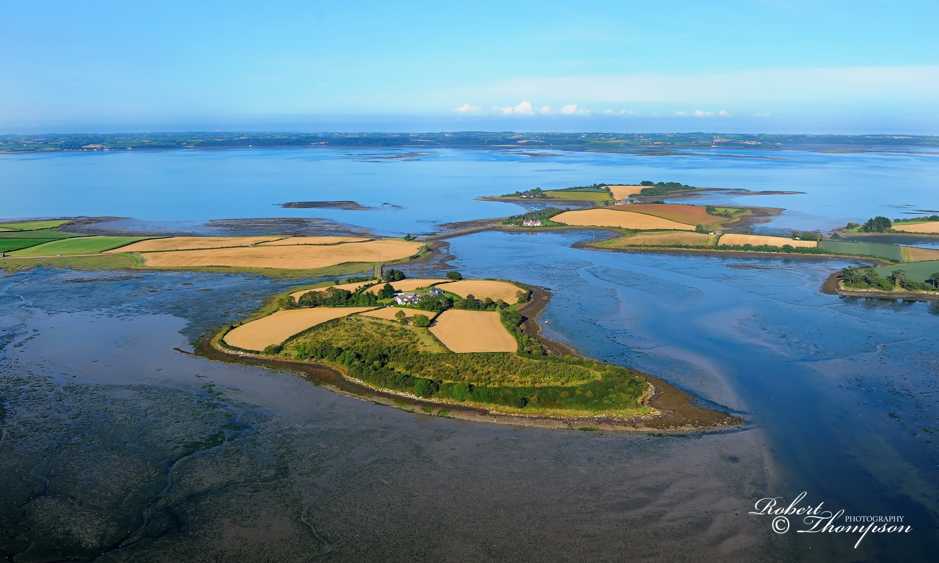
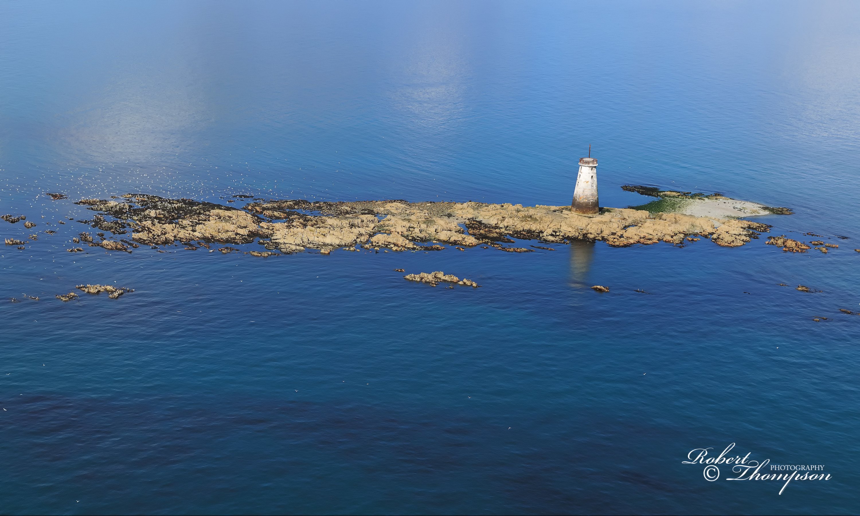
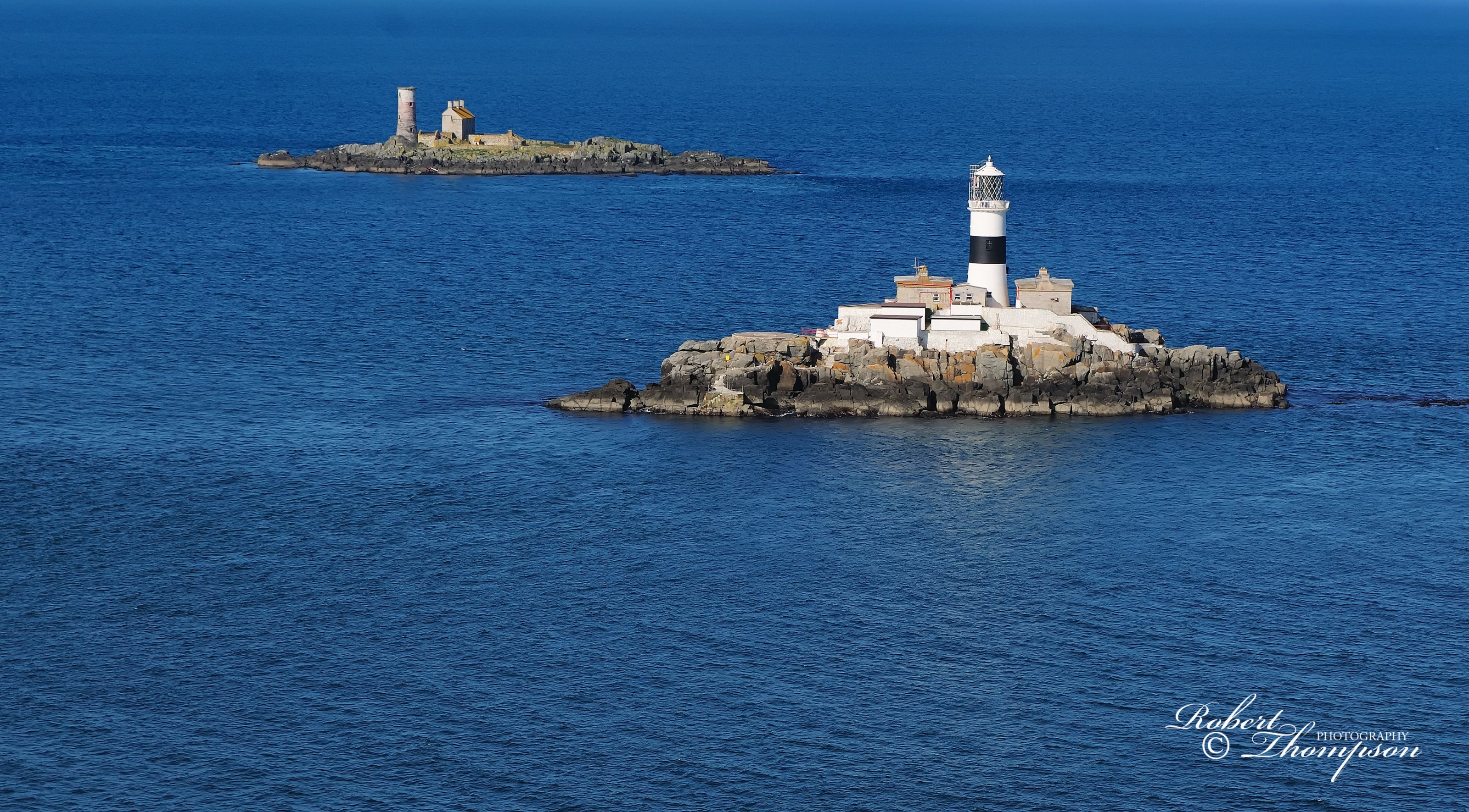
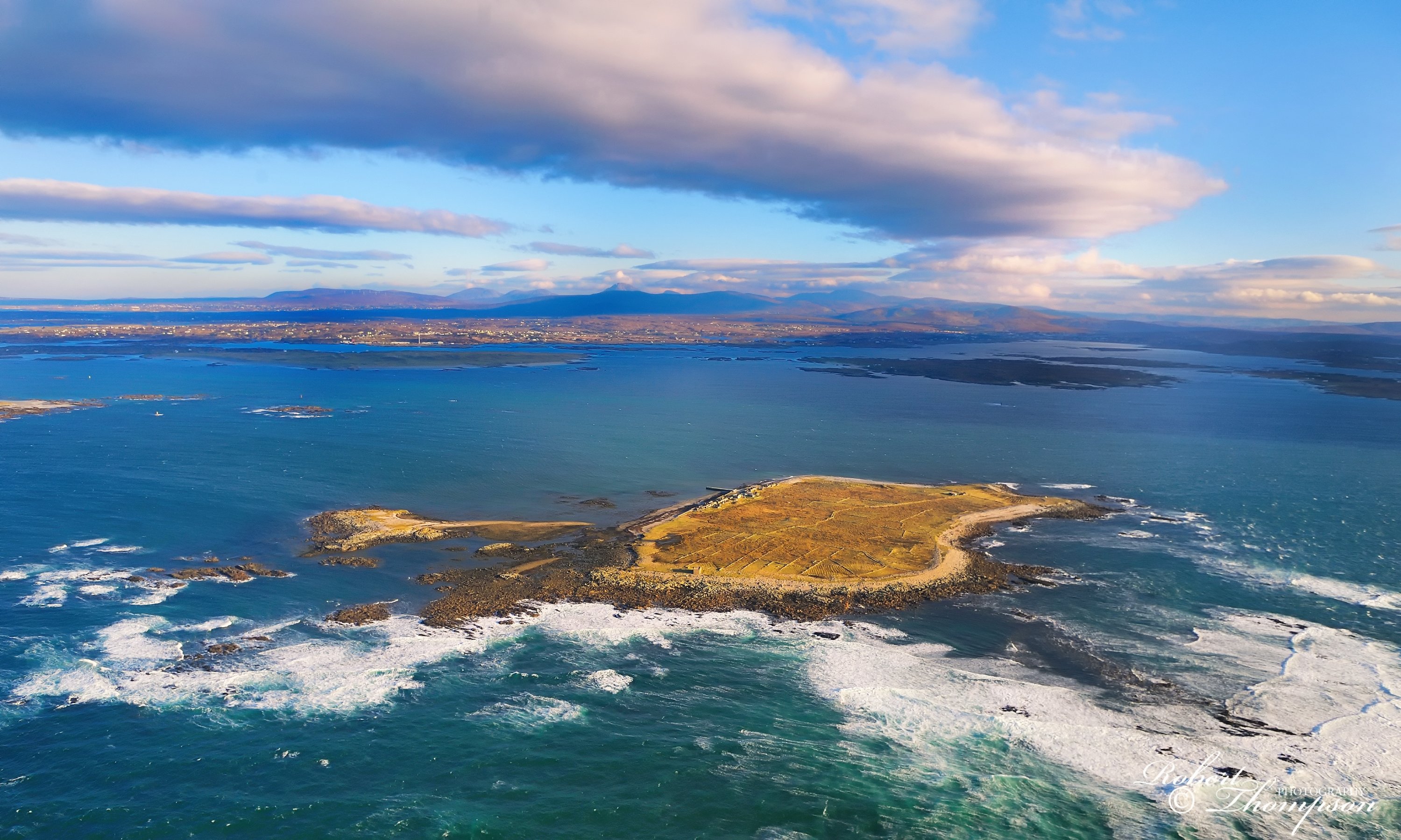
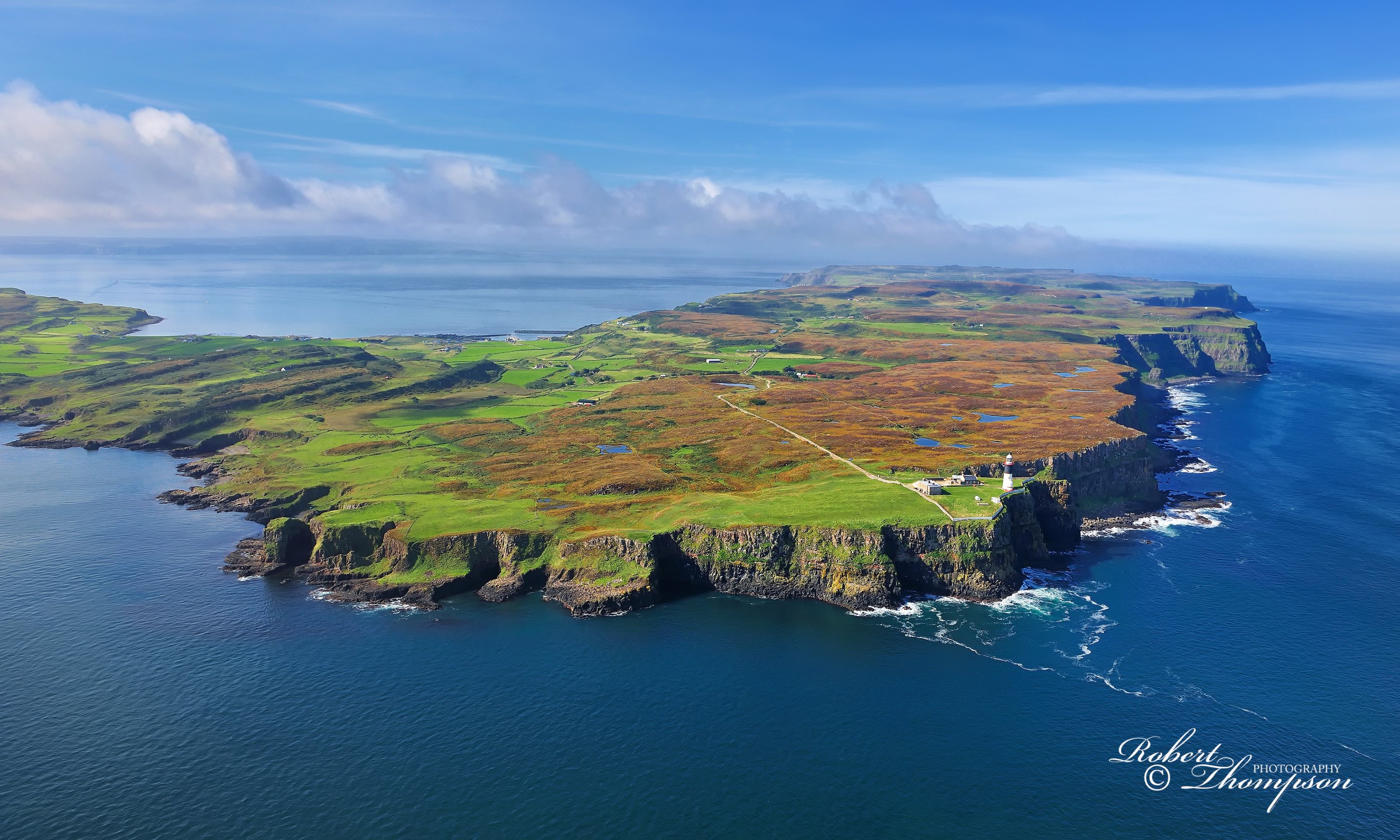
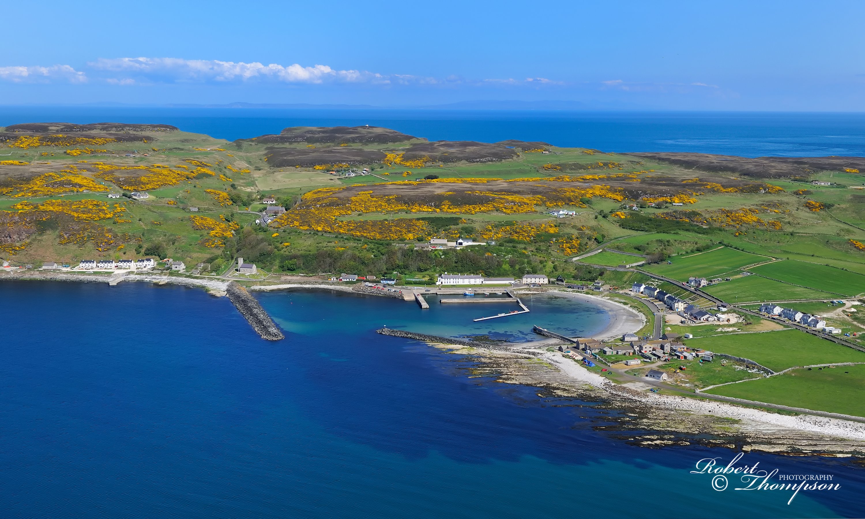
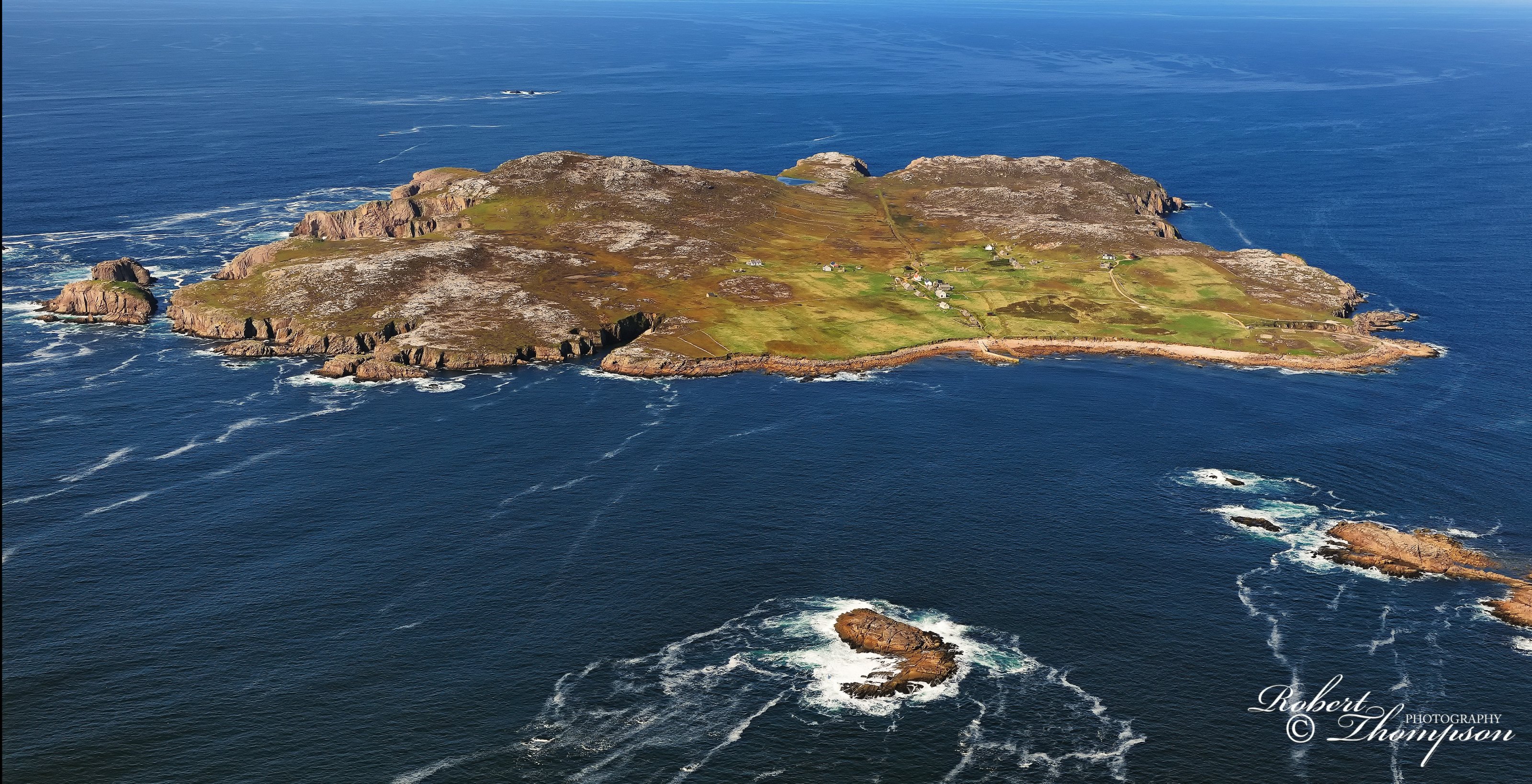
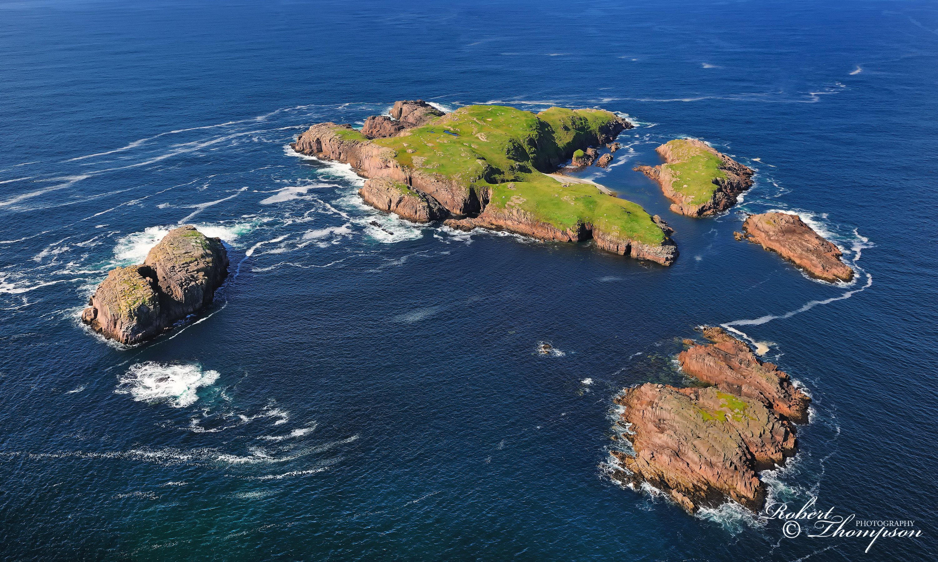
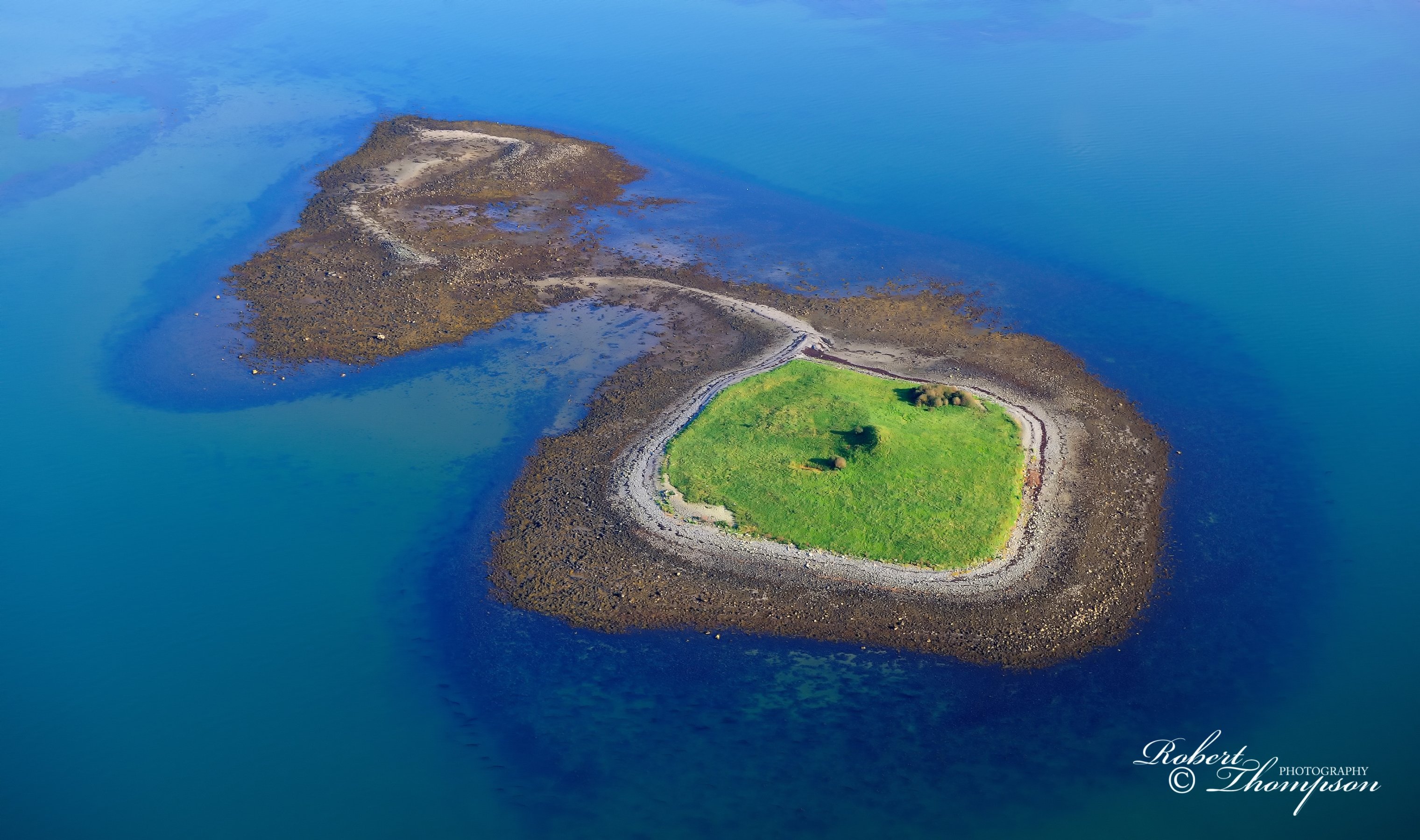
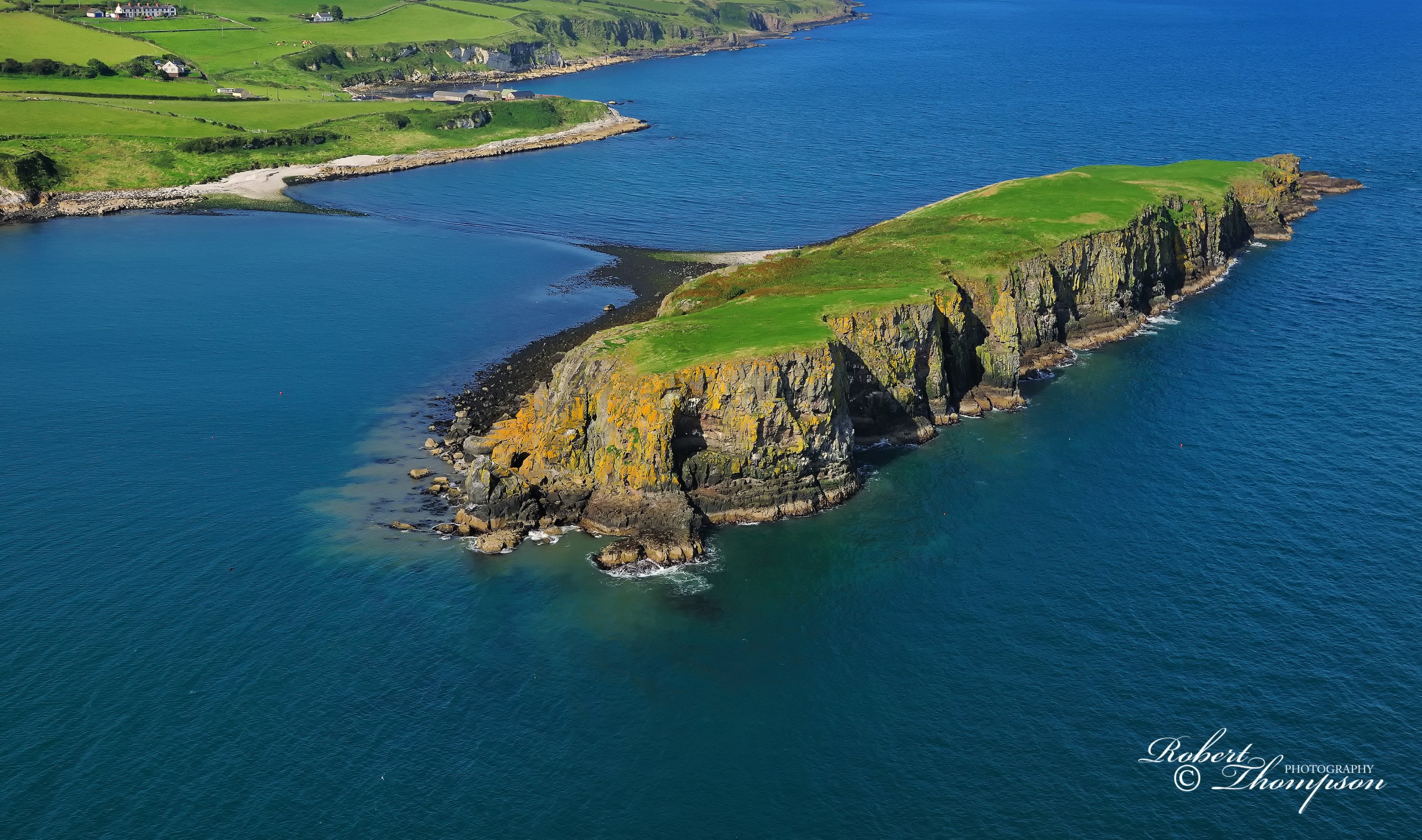
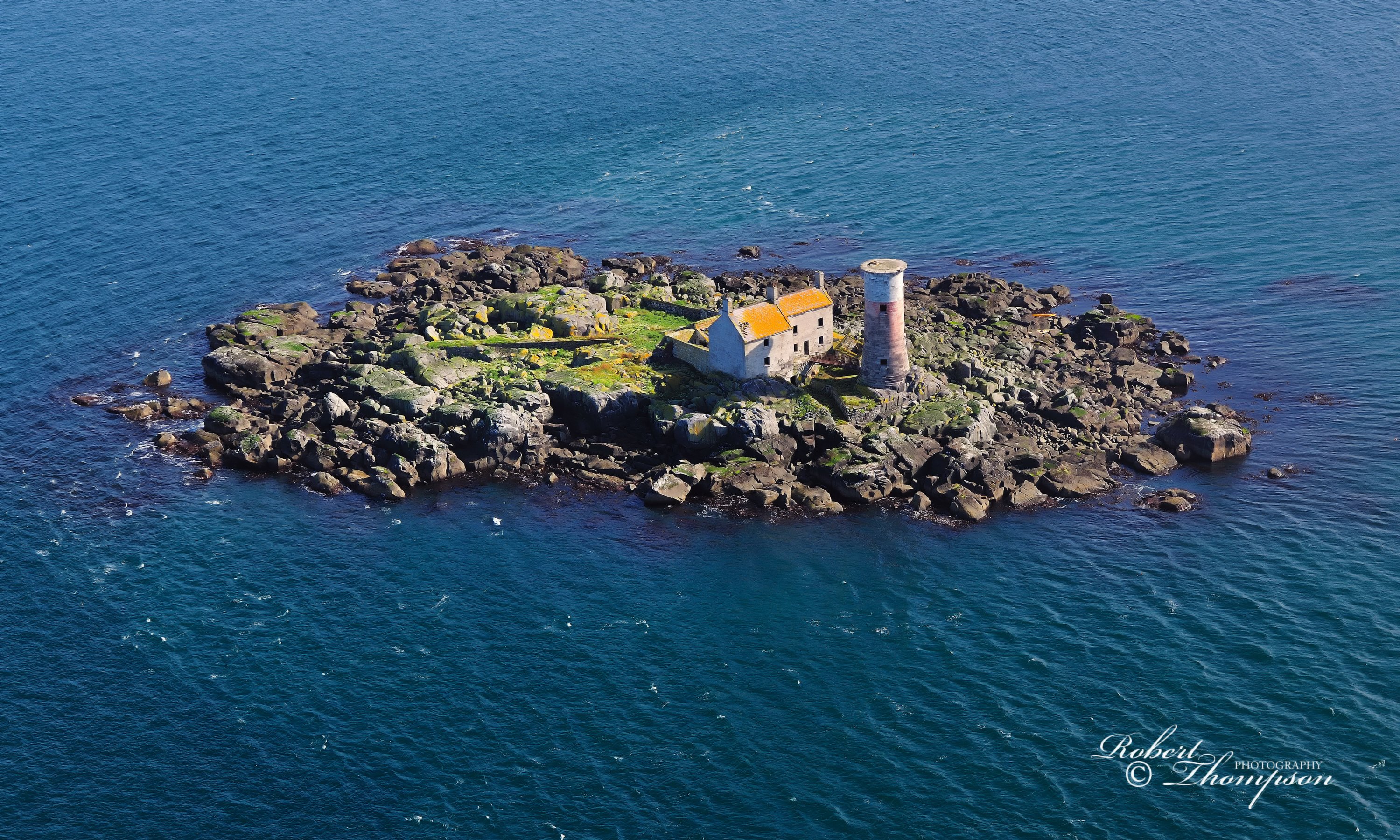
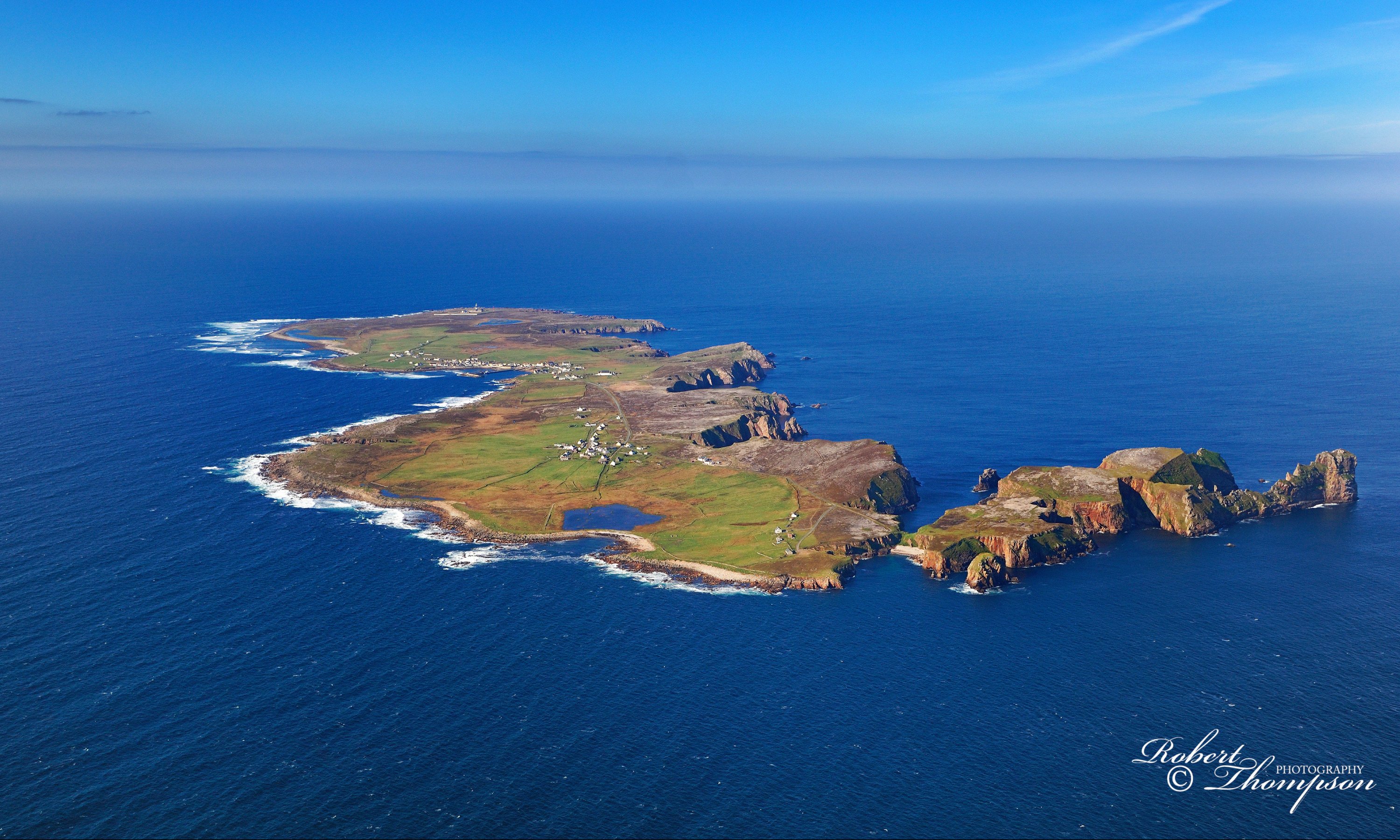
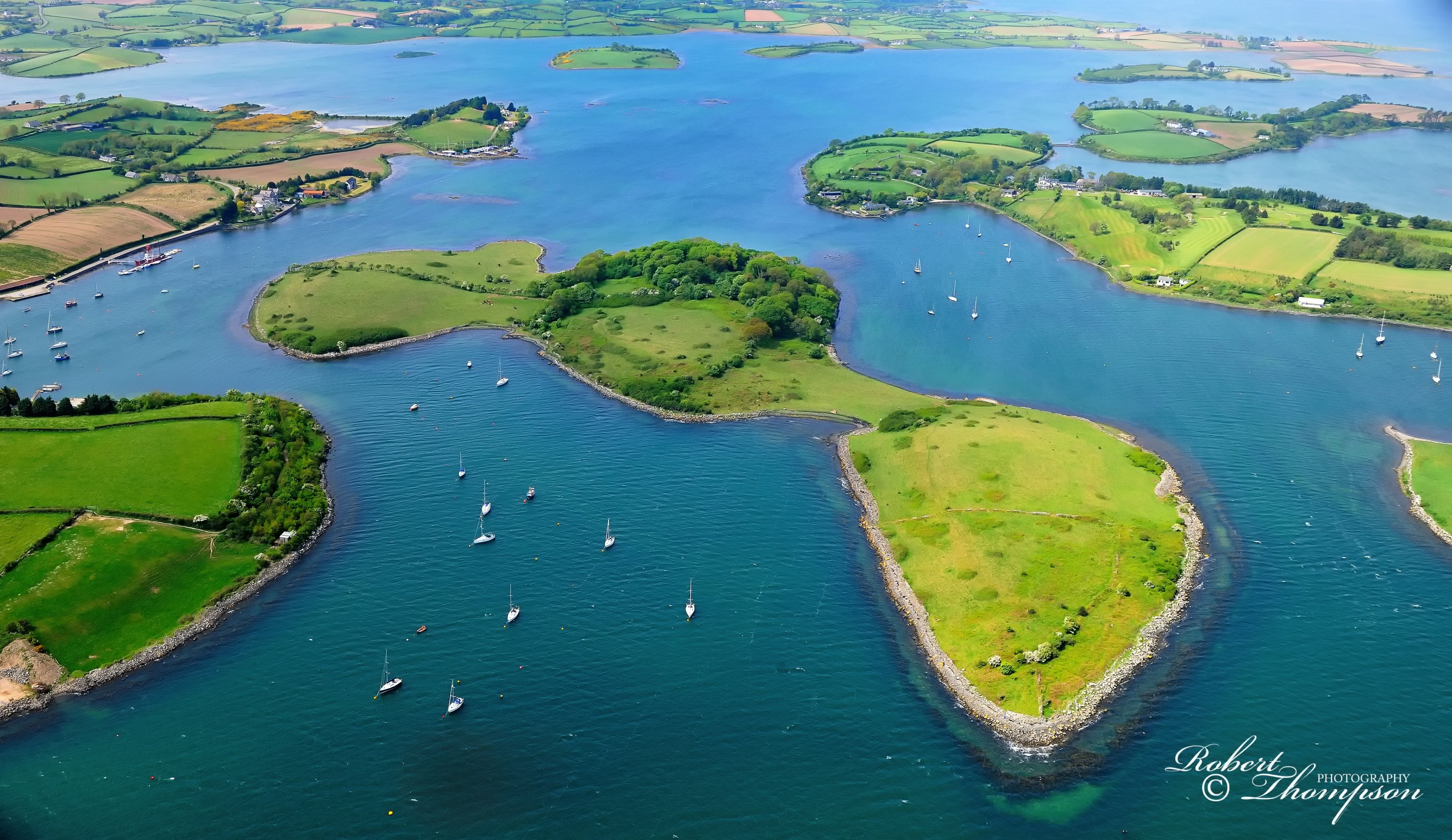
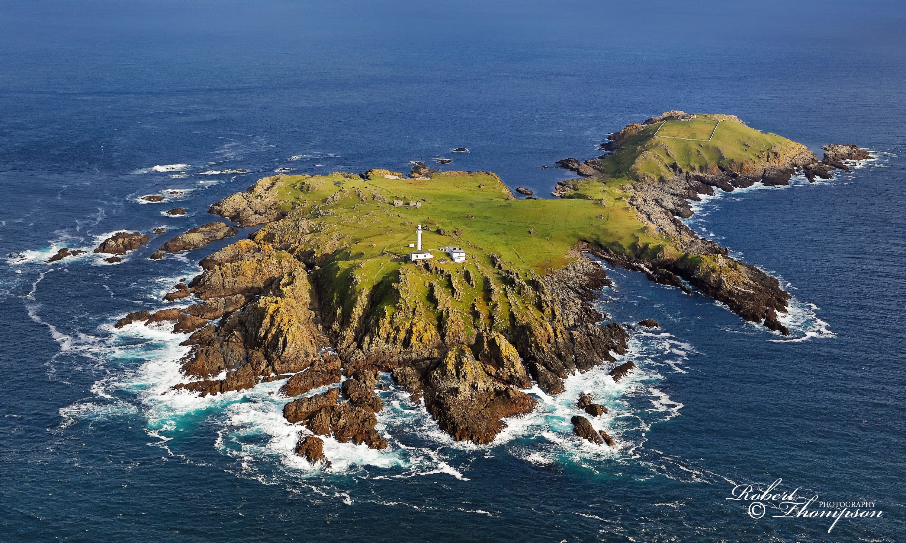
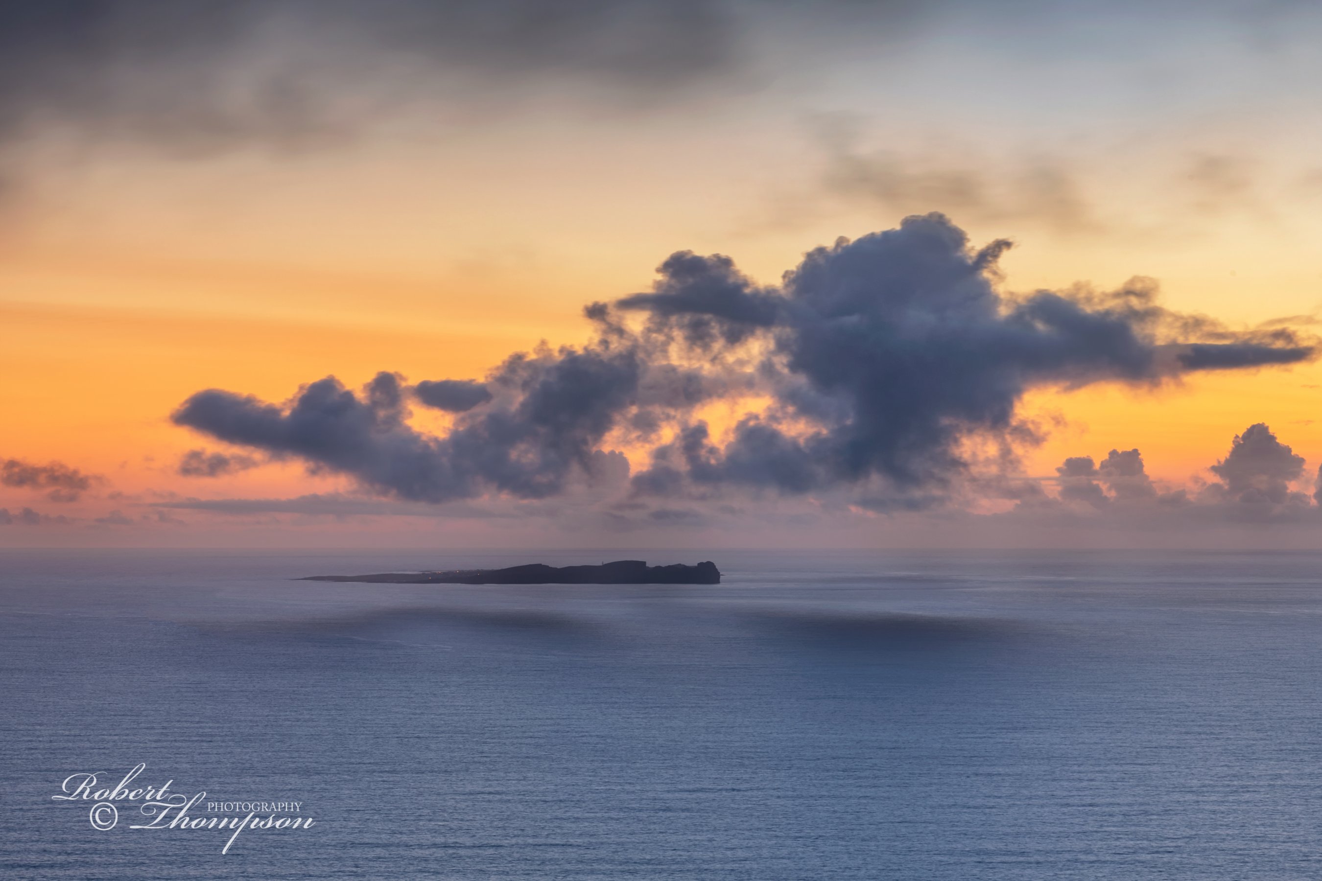
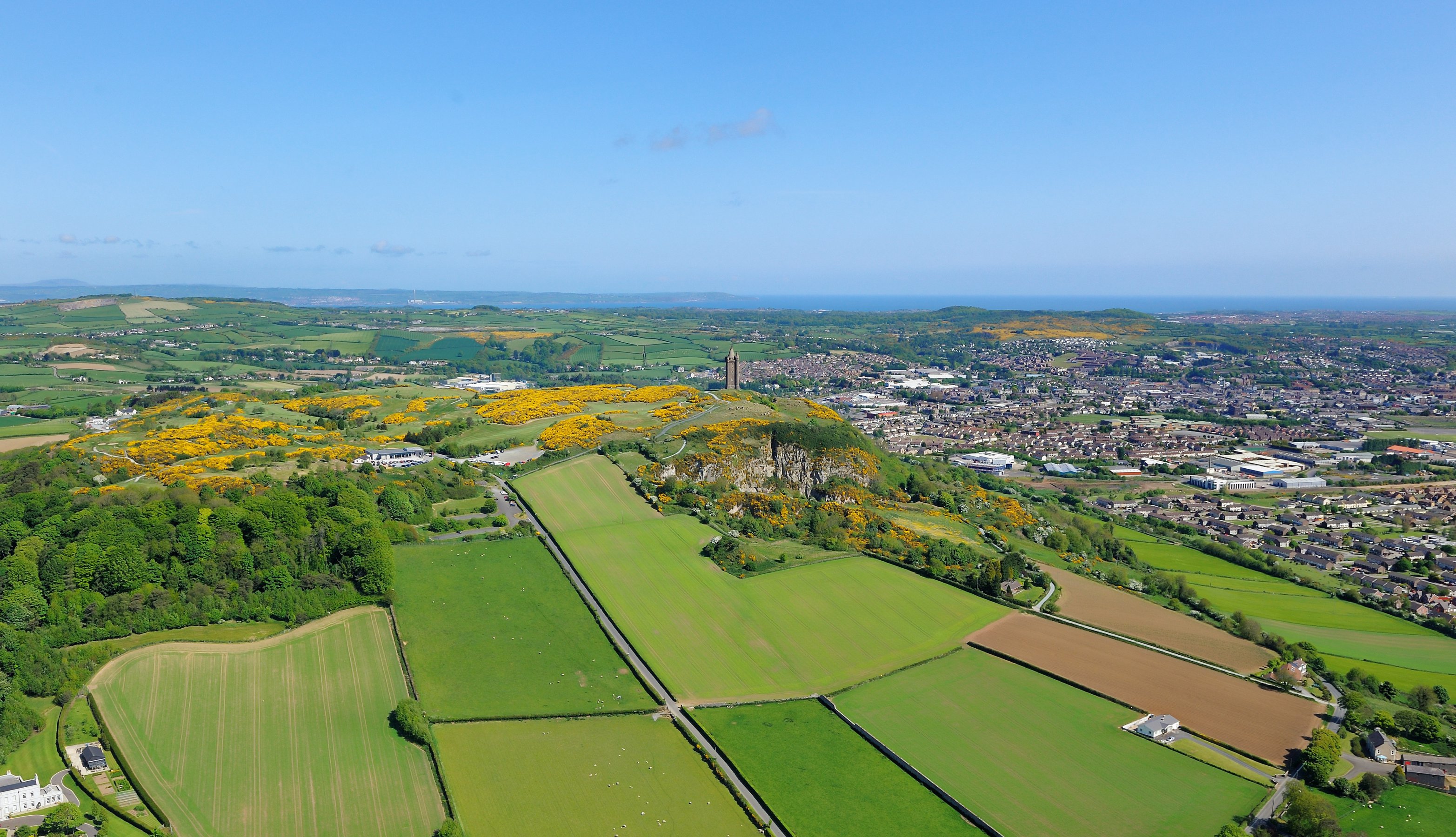
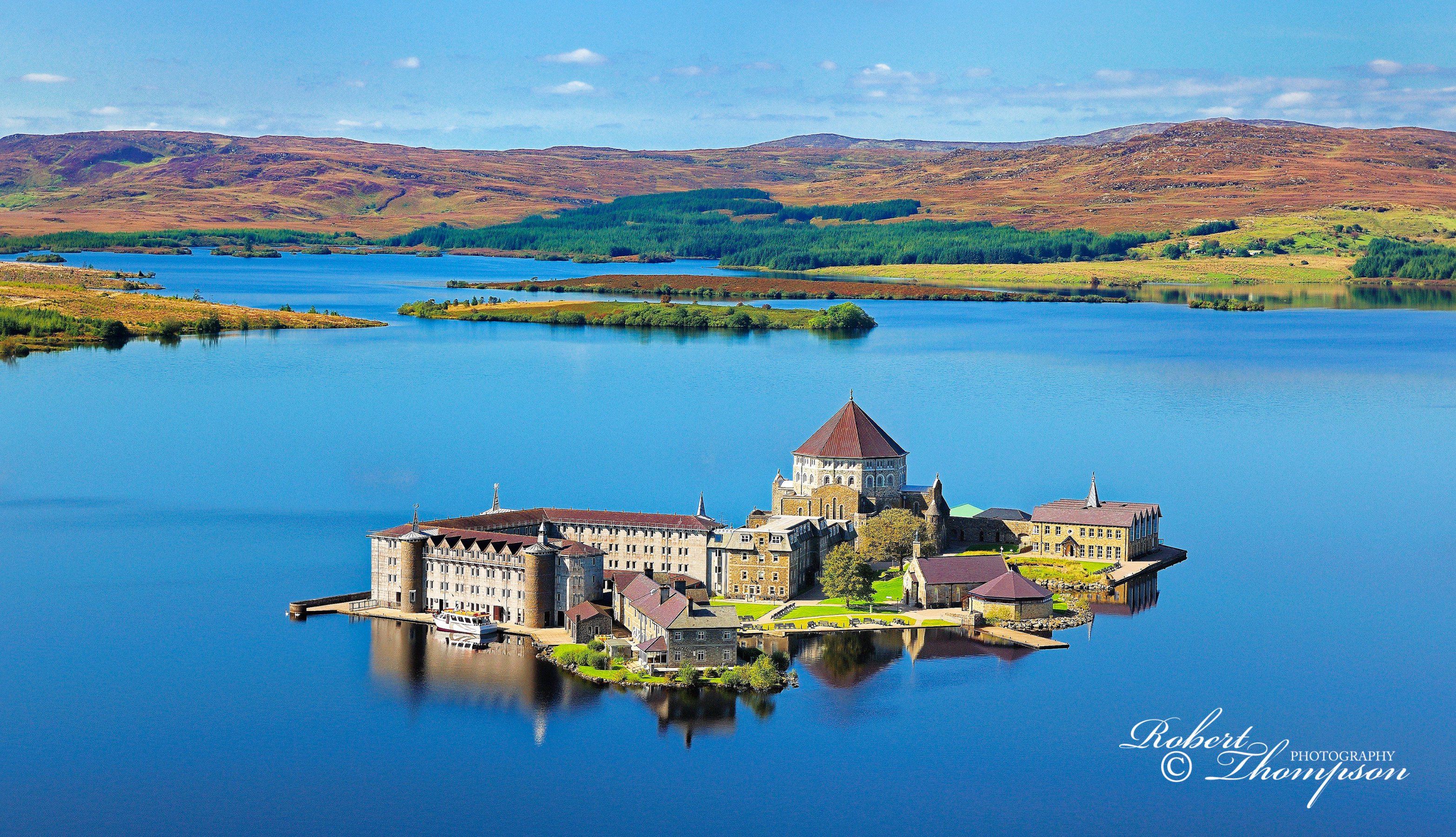
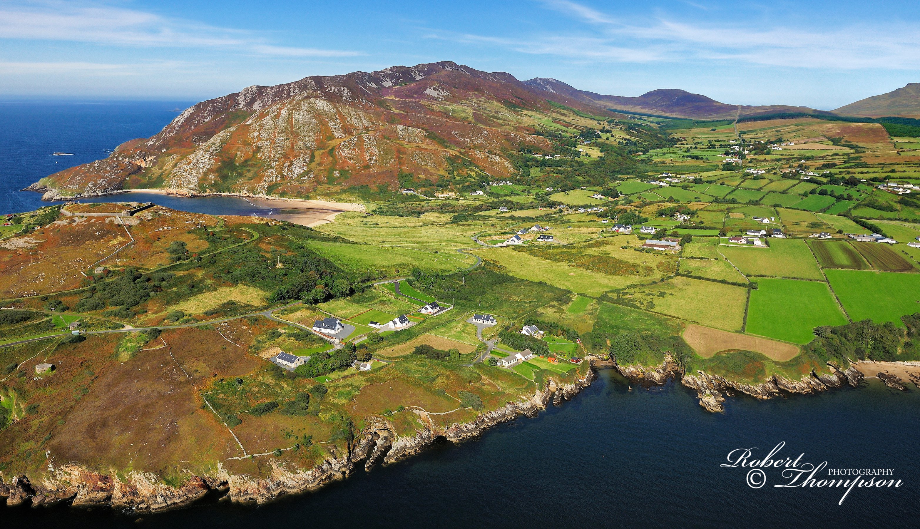
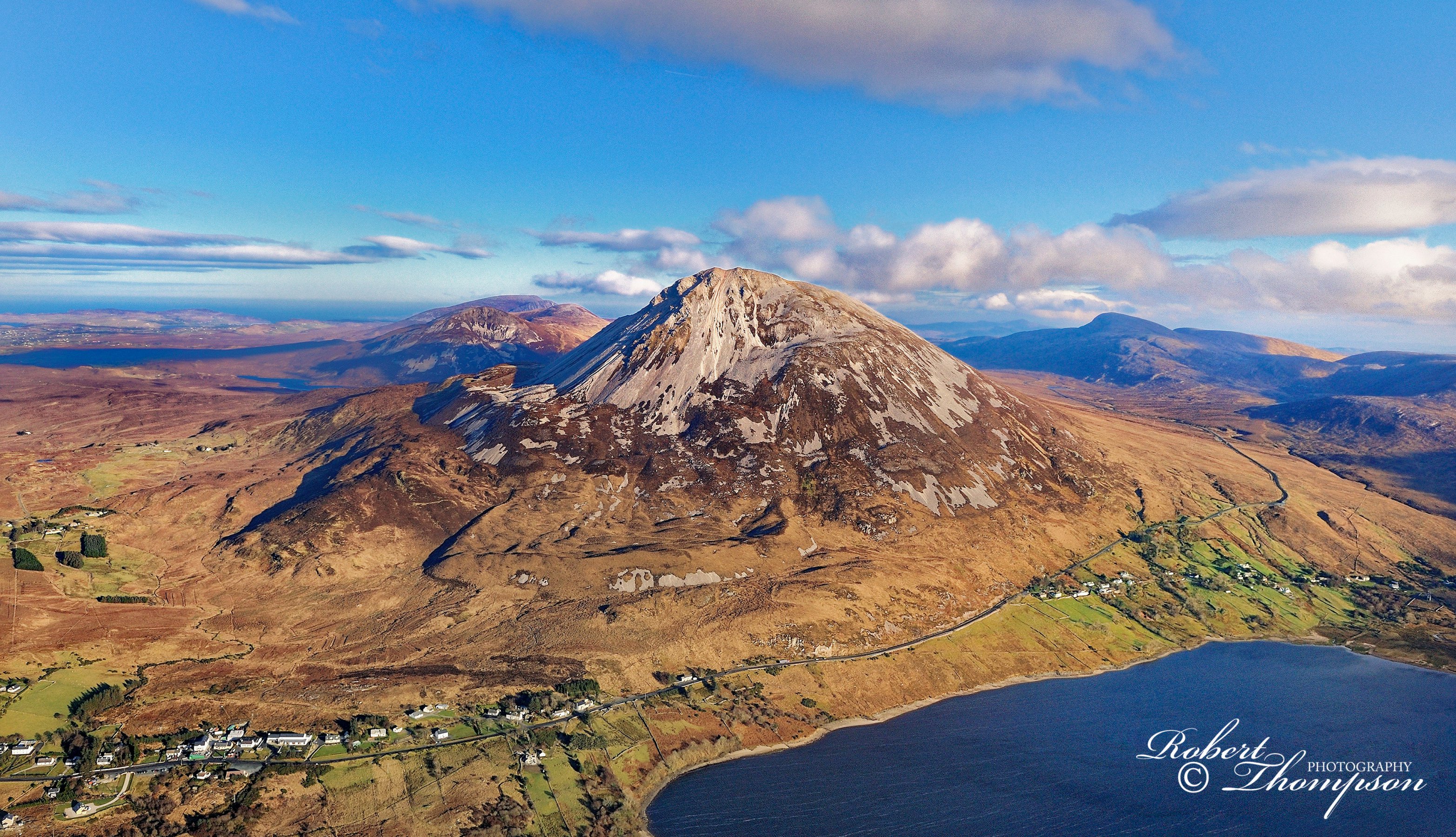
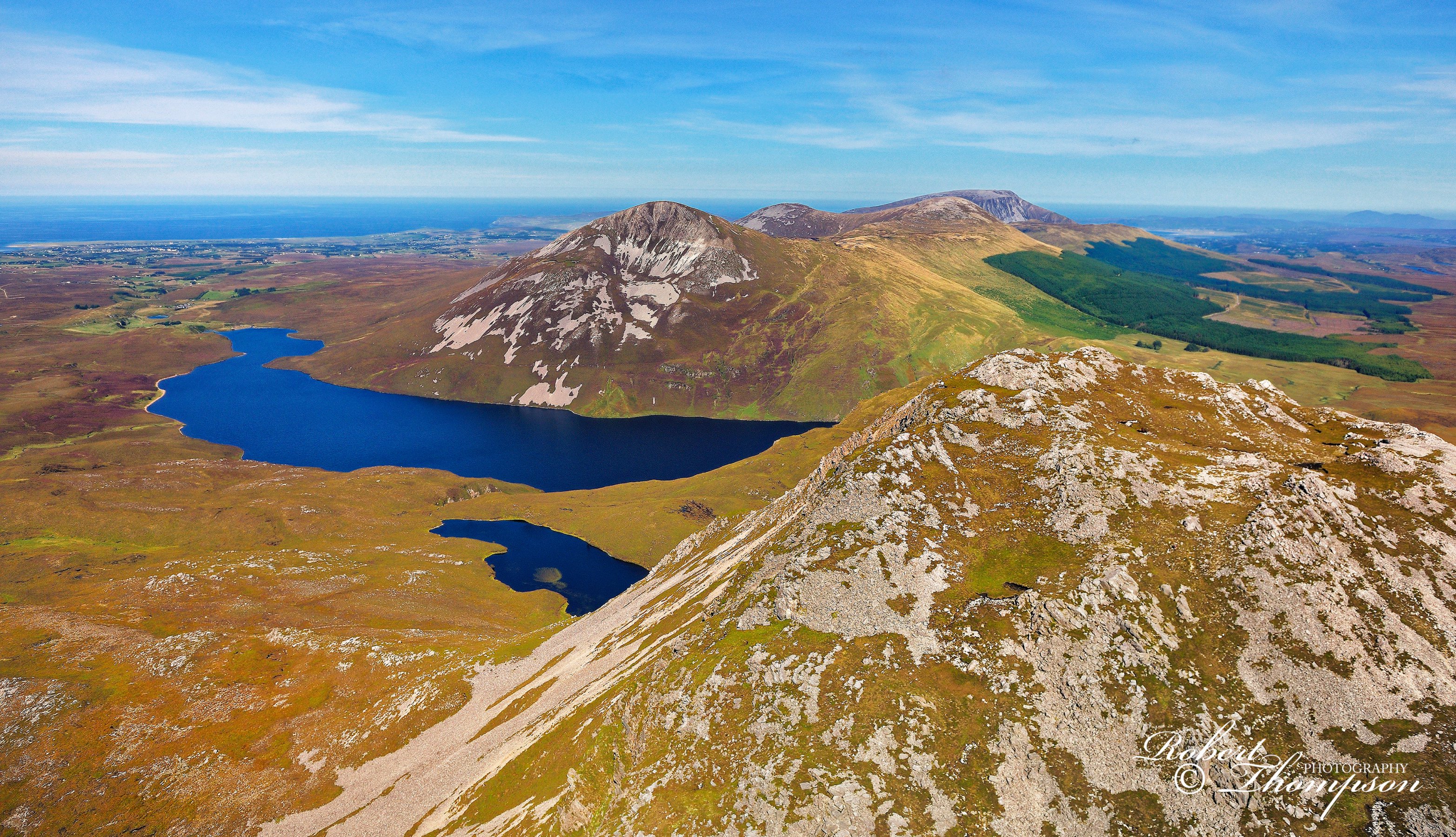
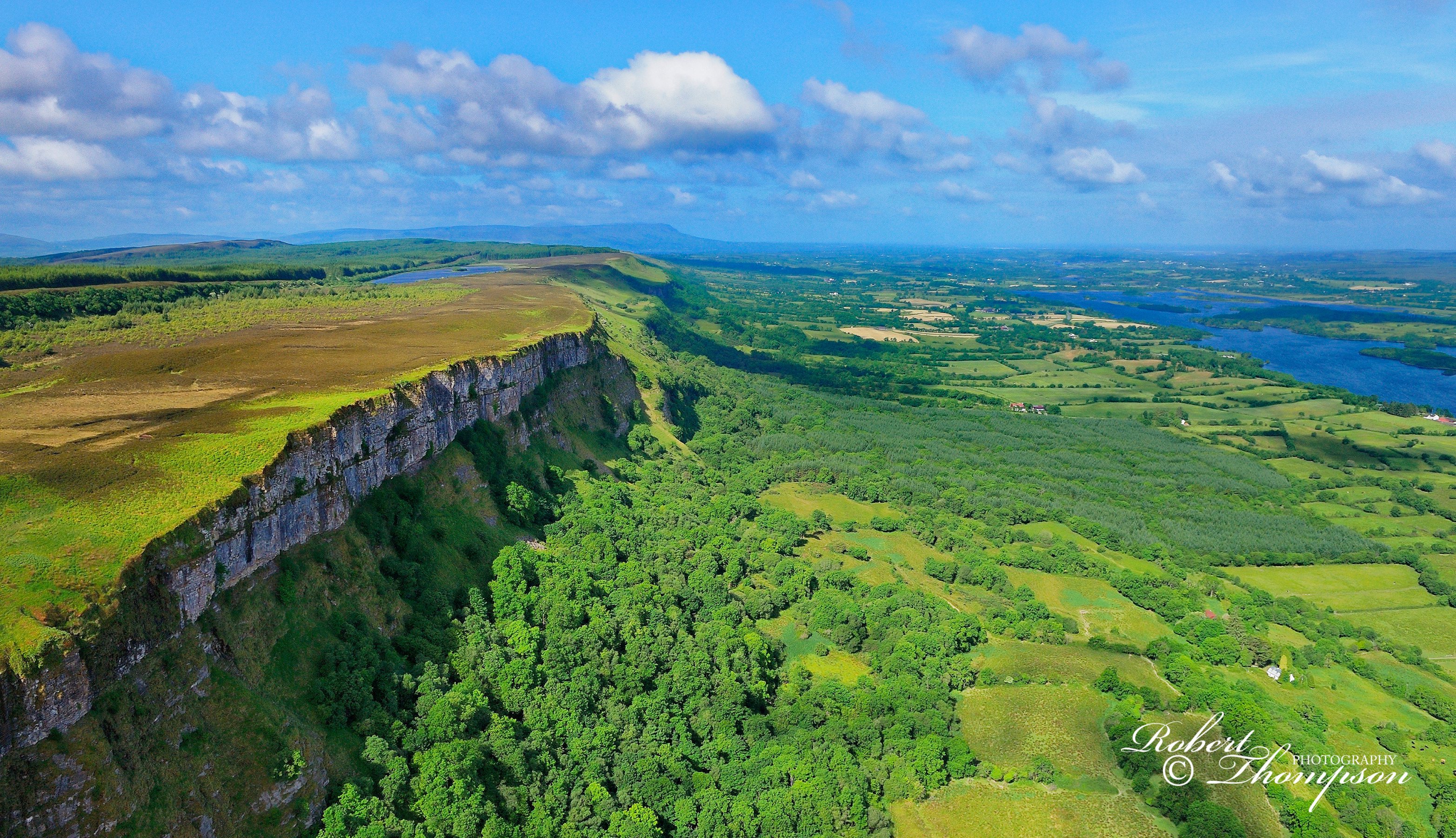
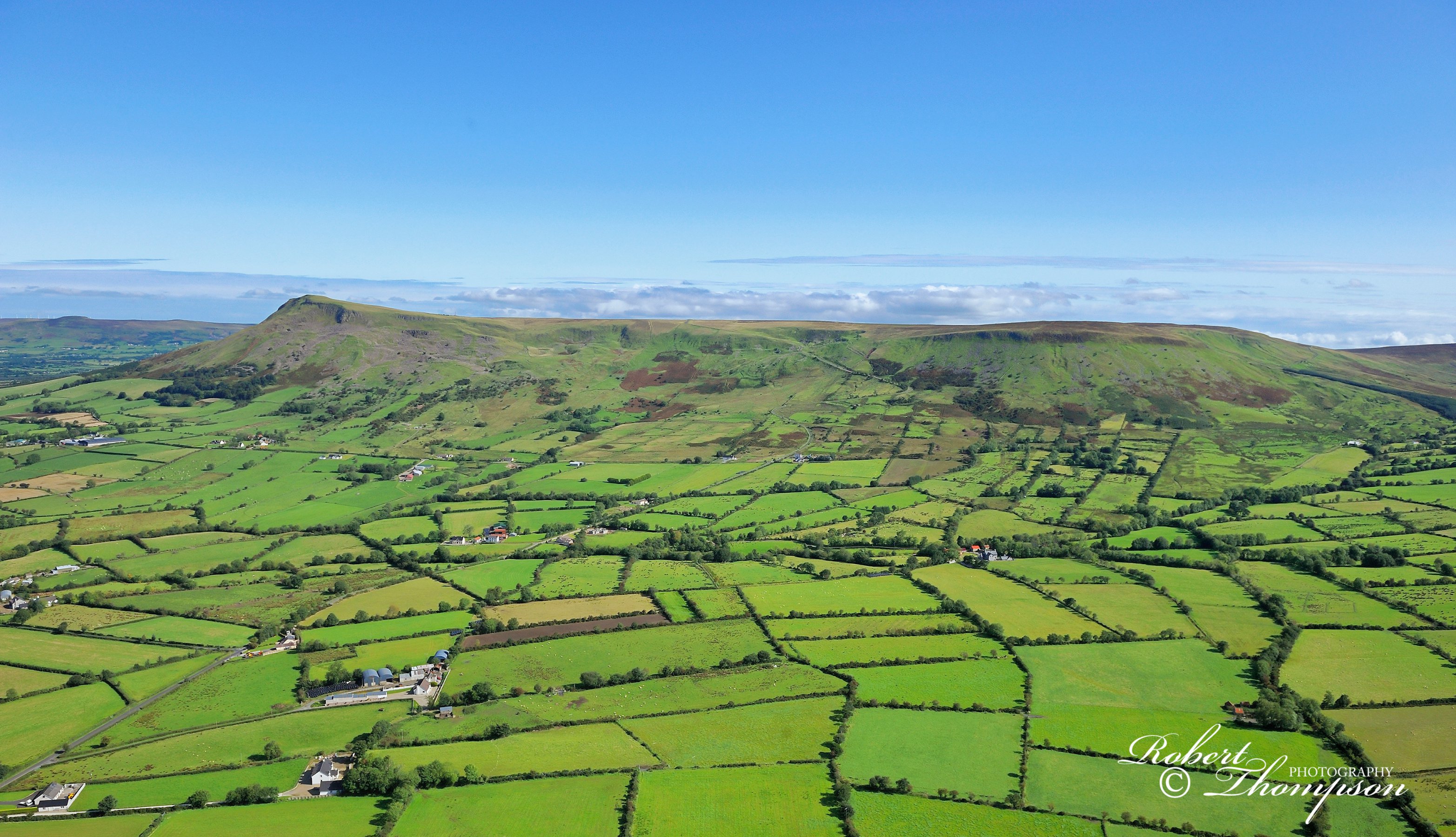
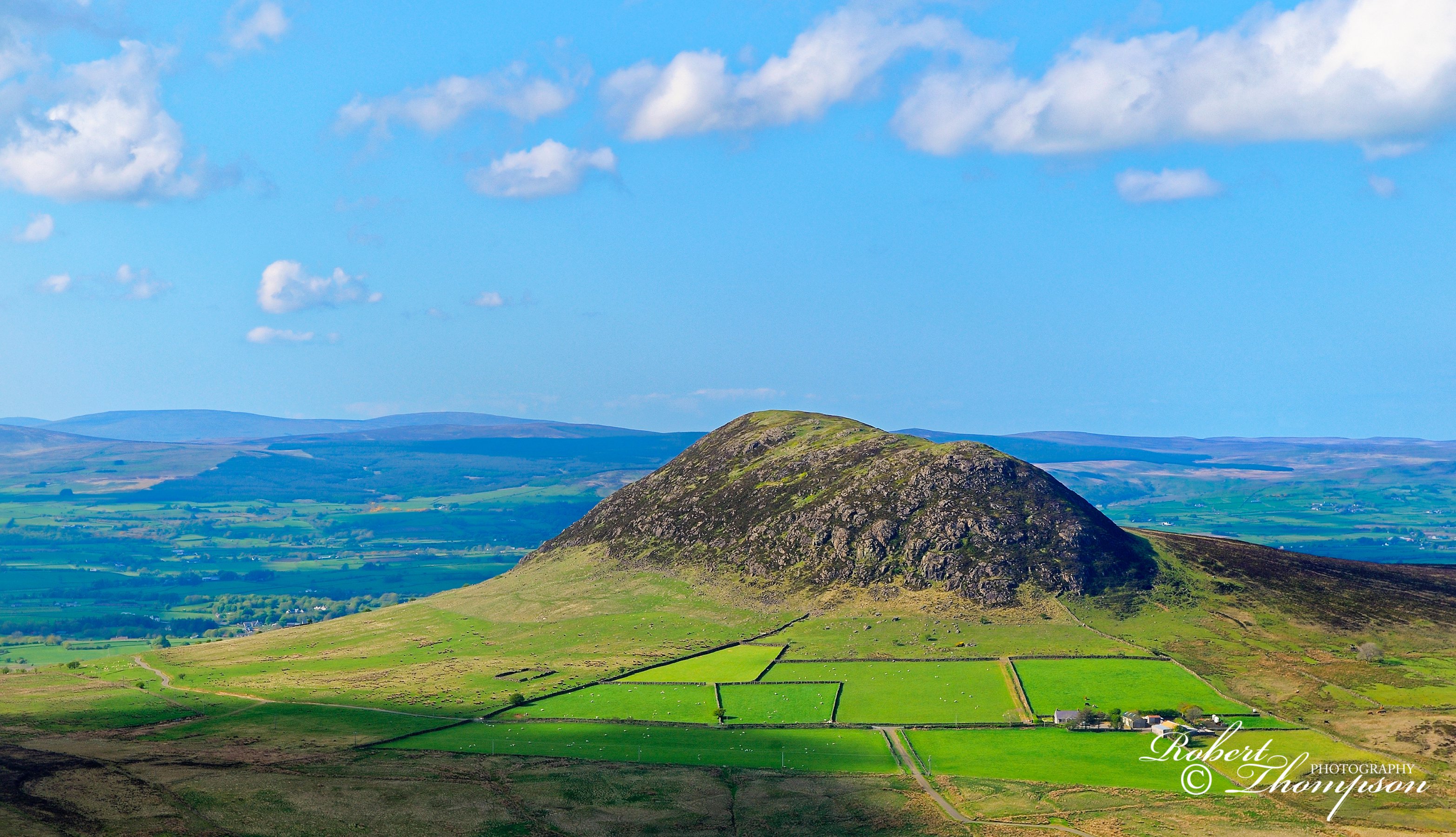
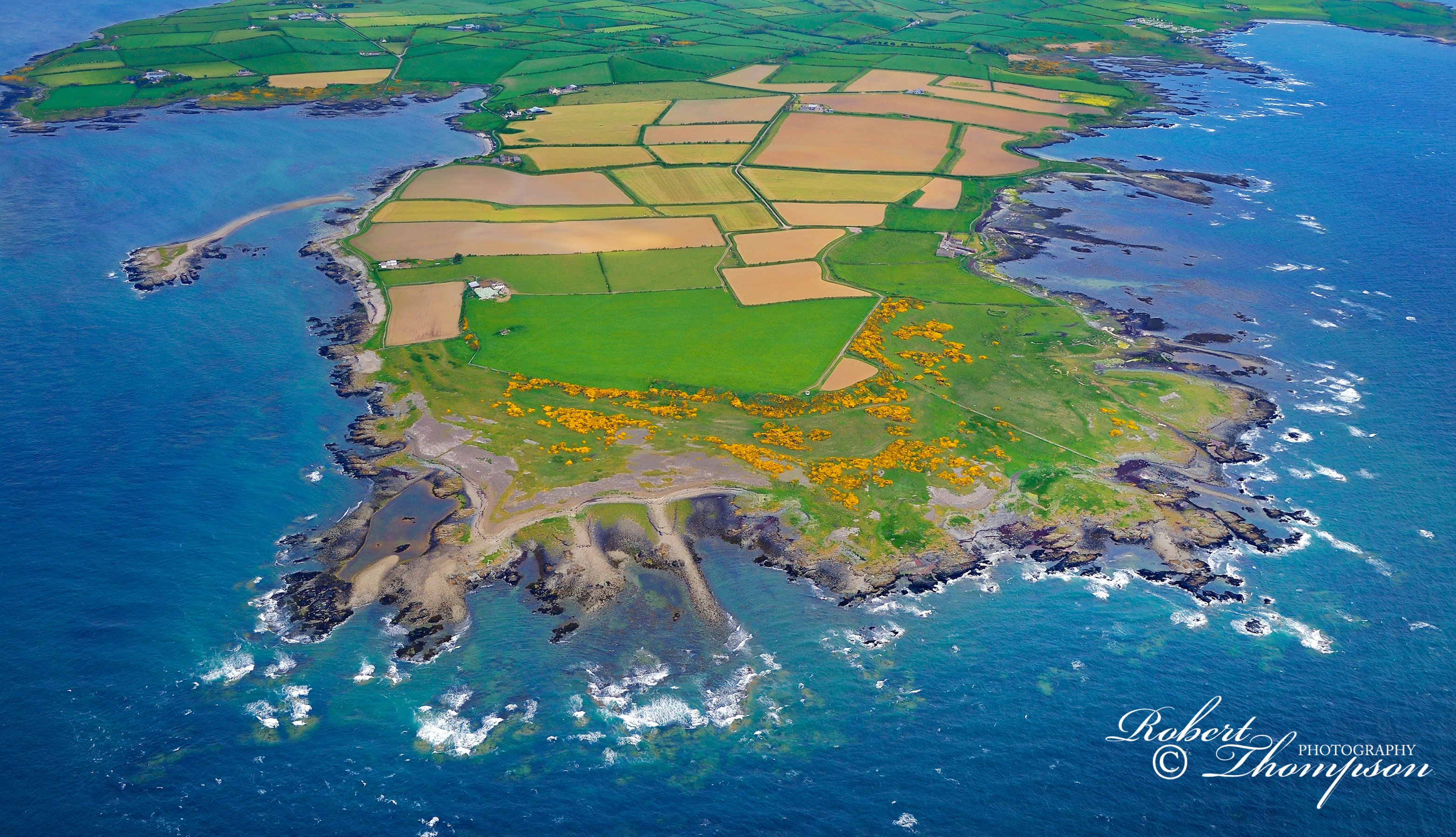
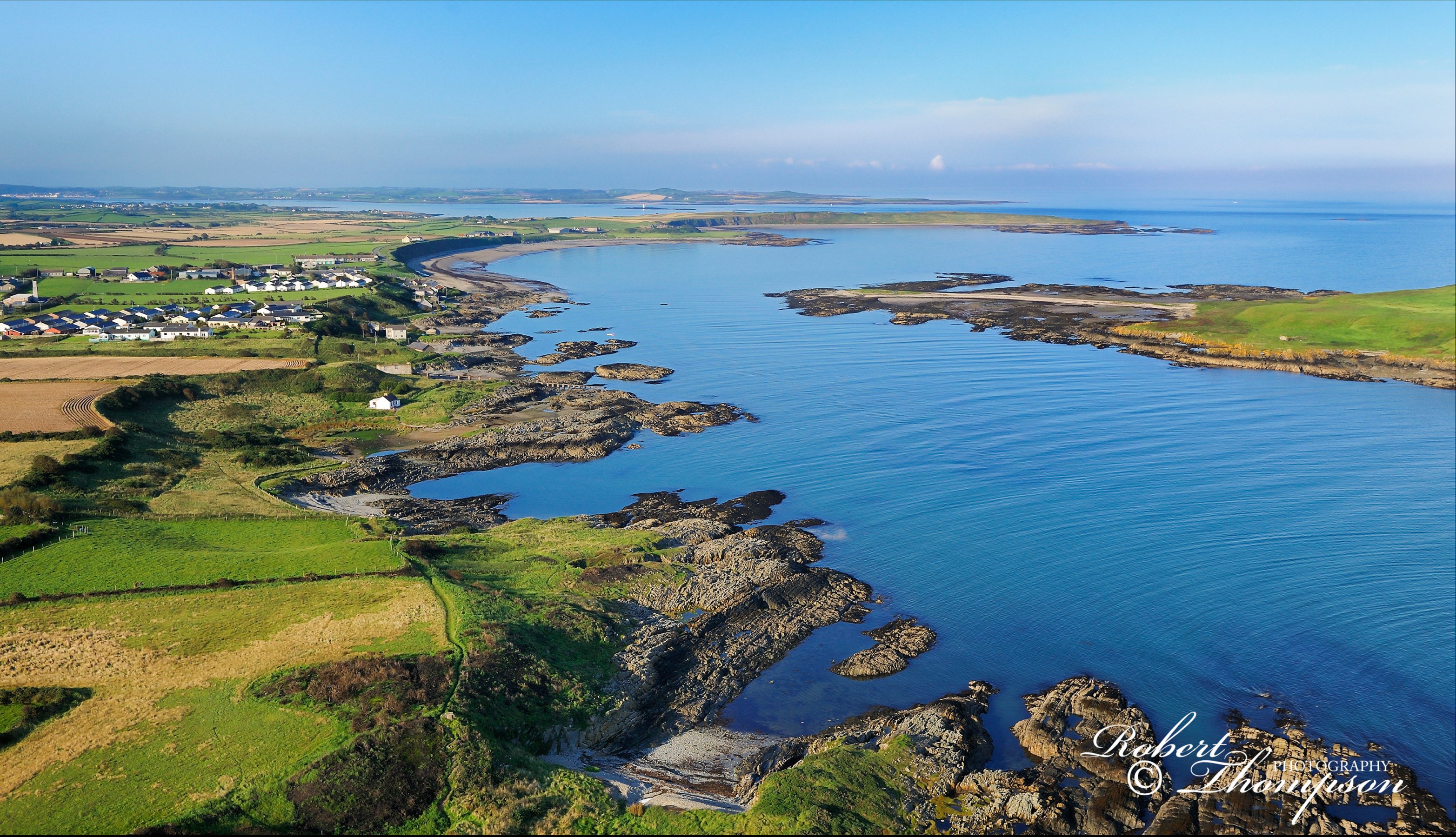
Guns Island, County Down_RST084451Mahee Island, Strangford Lough, County Down_RST087743Rolly Island & Reagh Island, Strangford Lough, County Down_RST085573Old Lighthouse South Rock, County Down_RST083348Maidens or Hulin Rocks, County Antrim_RST083388Inishkeergh Island, County Donegal_RST083381Inishbofin Island, with Inishmore, Inishdooey and Tory Island, County Donegal_RST082251Rathlin O'Birne Island looking south towards the 2000ft cliffs of Slieve League, County Donegal_RST089963St John's Point Lighthouse, Lecale coast, County Down_RST082283Rathlin O'Birne Island, County Donegal_RST089968East Lighthouse, Rathlin Island, County Antrim_RST087784Church Bay, Rathlin Island, County Antrim_RST083372Owey Island, County Donegal_RST087883Umfin Island, County Donegal_RST086683Round Island, Strangford Lough, County Down_RST0893342Isle of Muck, County Antrim_RST083348Old Lighthouse, Maidens, County Antrim_RST083348Innishduff Island, County Donegal_RST087442Tory Island Lighthouse, County Donegal_RST083367Tory Island Lighthouse, County Donegal_RST083368Arranmore Island & Lighthouse, County Donegal_RST084436Rainey Island, Strangford Lough, County Down_RST083386Inishtrahull Island, County Donegal_RST084469South Lighthouse, Rathlin Island, County Antrim_RST089451Copeland Islands, County Down_RST084672Tory Island, County Donegal_RST082261Sturrall Ridge, County Donegal_RST087331Muckross Head, County Donegal_RST086642Malin Head, County Donegal_RST083391Loughros More Bay, County Donegal, RST083361Errigal, County Donegal_RST084451Dooey Point and Trawenagh Bay, County Donegal_RST084451Scrabo Tower, Newtownards, County Down.Lough Alung, Derryvergh mountains, County Donegal.Station Island, Lough Derg, County Donegal.Lough Beg, County Londonderry.Silent Valley Reservoir, County Down.Urrish Hills, County Donegal.Errigal and Dunlewy Lough, County Donegal.Lough Altan and Nabehy Lough, County Donegal.The cliffs of Magho, County Fermanagh.Benbradagh Mountain, County Londonderry.Glenariff Valley, the glens, County Antrim.Slemish Mountain, County Antrim.The Hare's Gap, from the southeast, Mourne Mountains, County Down.Cruit Island and the Rosses, County Donegal.Carrigan Head and signal tower, looking towards the 2000ft sea cliffs of Slieve League, County Donegal.Glen Head and Mullaghtan, County Donegal.Trawbreaga Bay and Doagh Isle, looking north-west from Fegart Point, County Donegal.Dunluce Castle and White Rocks, looking west to Curran Strand, County Antrim.White Park Bay and Port Braddan, looking towards Gid Point, County Antrim.Carrickarade Island and Larry Bane Bay, with Sheep Island in the distance, County Antrim.Benbane Head from the east, County Antrim.Coastal village of Cushendun, County Antrim.Ballyquintin Point, Ards Peninsula, County Down.Coastline at Ballyhornan looking towards Benderg Bay and Killard Point, County Down.
Thompson FRPS FIPF award winning natural history photographer, author, freelance writer, conservationist and entomologist. Specialising in macro, travel, aerial and conventional landscapes nature & wildlife photography. Frequent contributor to the photographic press and other natural history publications. Photography seminars, lectures workshops. Specialist interest in insects especially butterflies, moths, saturniidae, dragonflies, seashore, plants, orchids., fungi and lichens.